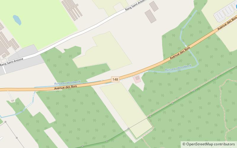
Îles Laval, Laval
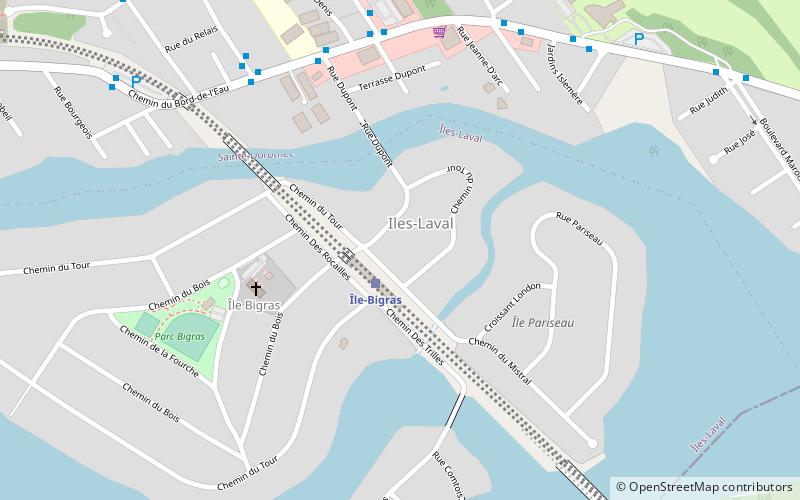
Map
Map

Facts and practical information
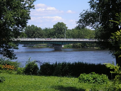
The Îles Laval are an island grouping in the Rivière des Prairies in southwestern Quebec, part of the Hochelaga Archipelago. ()
Coordinates: 45°31'13"N, 73°51'8"W
Address
Laval
ContactAdd
Social media
Add
Day trips
Îles Laval – popular in the area (distance from the attraction)
Nearby attractions include: Fairview Pointe-Claire, Bois-de-l'Île-Bizard Nature Park, St. Genevieve's Church, Jacques Bizard Bridge.
Frequently Asked Questions (FAQ)
Which popular attractions are close to Îles Laval?
Nearby attractions include Île Bigras, Laval (6 min walk), Rapides du Cheval Blanc, Montreal (21 min walk).
How to get to Îles Laval by public transport?
The nearest stations to Îles Laval:
Bus
Bus
- Du Bord-De-L'eau / Dupont • Lines: 402E, 402O, 404E, 903N, 903S (6 min walk)
- Du Bord-De-L'eau / Jolibourg • Lines: 26O (6 min walk)


