Laval—Les Îles, Laval
Map
Facts and practical information
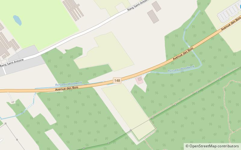
Laval—Les Îles is a federal electoral district in Quebec, Canada, that has been represented in the House of Commons of Canada since 2004. ()
Coordinates: 45°32'38"N, 73°50'13"W
Address
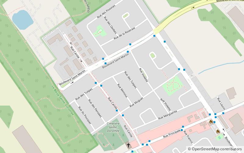
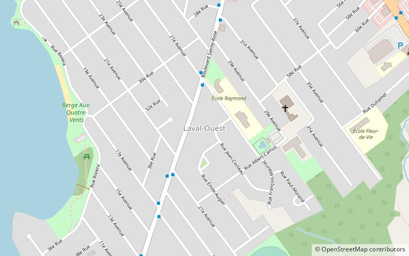
Saint DorothéeLaval
ContactAdd
Social media
Add
Getting there by public transportation
Public transportation stops near this location
- Bus
 Bus
Bus
- Calculate routePrincipale / Dulude 14 min walk
- Calculate routePrincipale / Saint-Antoine 16 min walk
- Calculate routeSaint-Antoine / Principale 16 min walk
Day trips


Frequently Asked Questions (FAQ)
How to get to Laval—Les Îles by public transport?
The nearest stations to Laval—Les Îles:
Bus
Bus
- Principale / Dulude • Lines: 46N, 46S (14 min walk)
- Principale / Saint-Antoine • Lines: 46N (16 min walk)