Rosedale, Toronto


Facts and practical information
Rosedale is an affluent neighbourhood in central Toronto, Ontario, Canada. It was formerly the estate of William Botsford Jarvis, and so named by his wife, granddaughter of William Dummer Powell, for the wild roses that grew there in abundance. It is located north of Downtown Toronto and is one of its oldest suburbs. It is also one of the wealthiest and most highly priced neighbourhoods in Canada. Rosedale has been ranked the best neighbourhood in Toronto to live in by Toronto Life. It is known as the area where the city's 'old money' lives, and is home to some of Canada's richest and most famous citizens including Gerry Schwartz, founder of Onex Corporation, Adrienne Clarkson, the 26th Governor General of Canada, and her husband, the author John Ralston Saul, as well as David Thomson, 3rd Baron Thomson of Fleet of the Thomson Corporation, the latter of whom is the richest man in Canada. ()
Midtown (Rosedale)Toronto
- Metro
- Bus
- Tram
 Metro
Metro
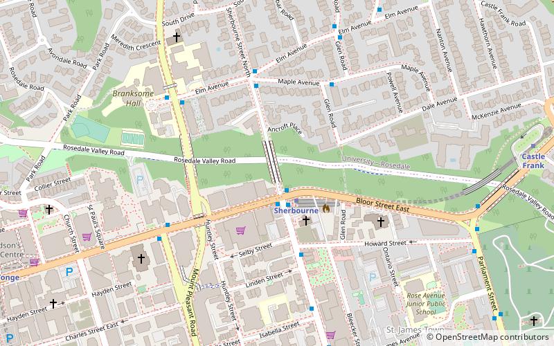
- Calculate routeSherbourne Street 3 min walk
- Calculate routeMaple Avenue 4 min walk
- Calculate routeMay Street 6 min walk
- Calculate routeElm Avenue 6 min walk
- Calculate routeSherbourne 8 min walk
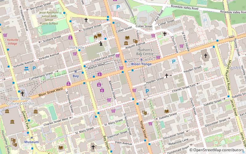
- Calculate routeRosedale 12 min walk
- Calculate routeBloor-Yonge 13 min walk
- Calculate routeCastle Frank 14 min walk
- Calculate routeSherbourne Street 25 min walk
- Calculate routeJarvis Street 25 min walk
- Calculate routeOntario Street 25 min walk
 SubwayMaps
 Streetcar systemMaps
 PATH
PATH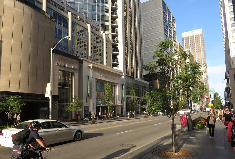


Frequently Asked Questions (FAQ)
Which popular attractions are close to Rosedale?
How to get to Rosedale by public transport?
Bus
- Sherbourne Street • Lines: 75 (3 min walk)
- Maple Avenue • Lines: 75 (4 min walk)
Metro
- Sherbourne • Lines: 2 (8 min walk)
- Rosedale • Lines: 1 (12 min walk)
Tram
- Sherbourne Street • Lines: 306, 506 (25 min walk)
- Jarvis Street • Lines: 306, 506 (25 min walk)