High Park, Edmonton
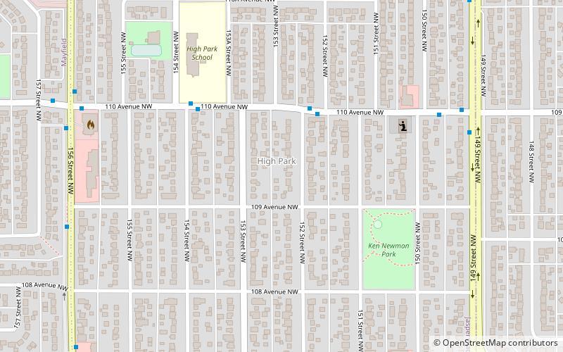
Map
Facts and practical information
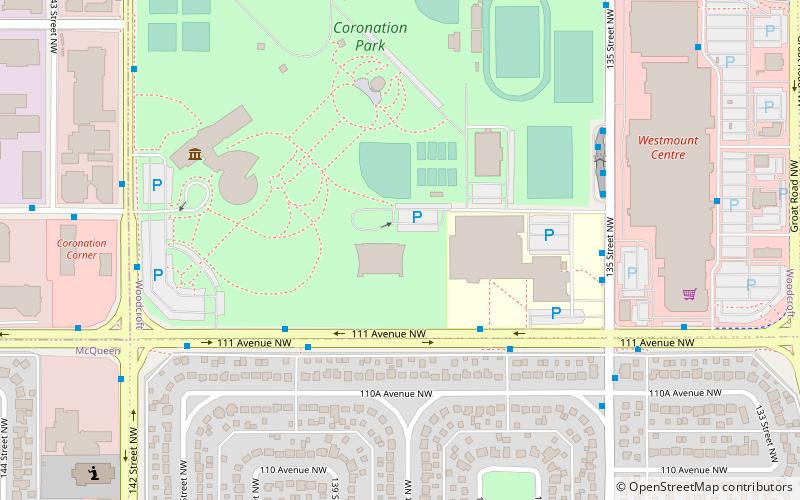
Area: 177.92 acres (0.278 mi²)Coordinates: 53°33'17"N, 113°35'2"W
Address
West Edmonton (High Park)Edmonton
ContactAdd
Social media
Add
Getting there by public transportation
Public transportation stops near this location
- Bus
 Bus
Bus
- Calculate route149 Street & 111 Ave 12 min walk
- Calculate route146 Street & 111 Ave 14 min walk
- Calculate route144 Street & 111 Ave 16 min walk
Day trips


Frequently Asked Questions (FAQ)
Which popular attractions are close to High Park?
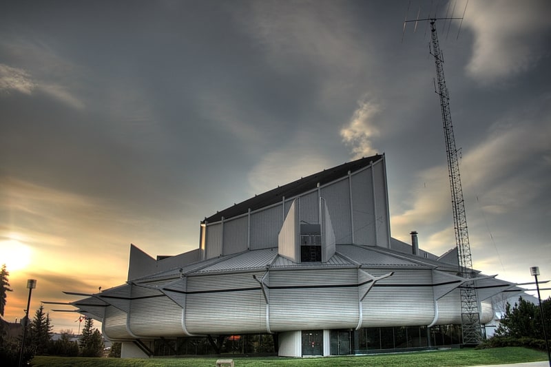
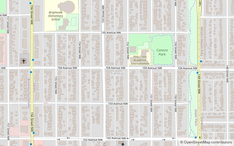
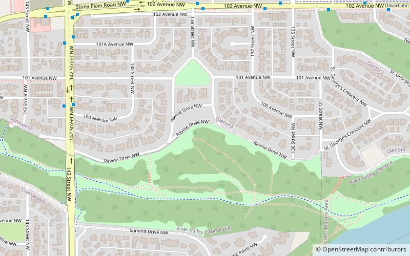
Nearby attractions include McQueen, Edmonton (13 min walk), Canora, Edmonton (16 min walk), Grovenor, Edmonton (21 min walk), Queen Elizabeth Planetarium, Edmonton (23 min walk).
How to get to High Park by public transport?
The nearest stations to High Park:
Bus
Bus
- 149 Street & 111 Ave • Lines: 126 (12 min walk)
- 146 Street & 111 Ave • Lines: 126 (14 min walk)