R. C. Harris Water Treatment Plant, Toronto
Map
Gallery
Facts and practical information
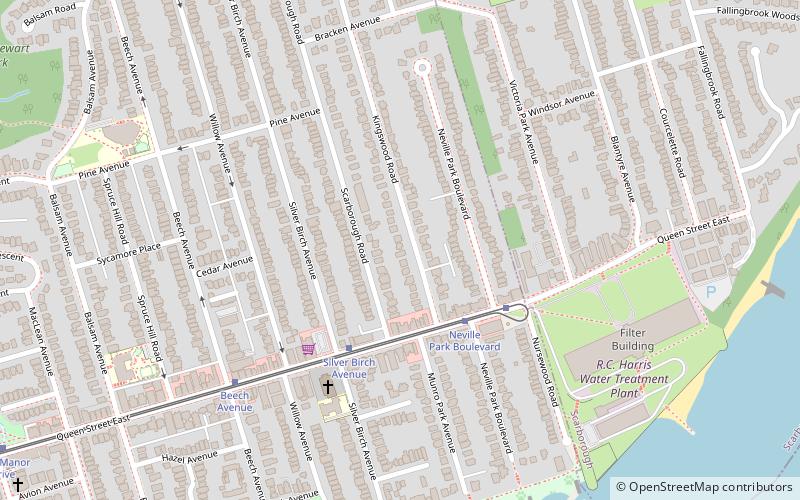
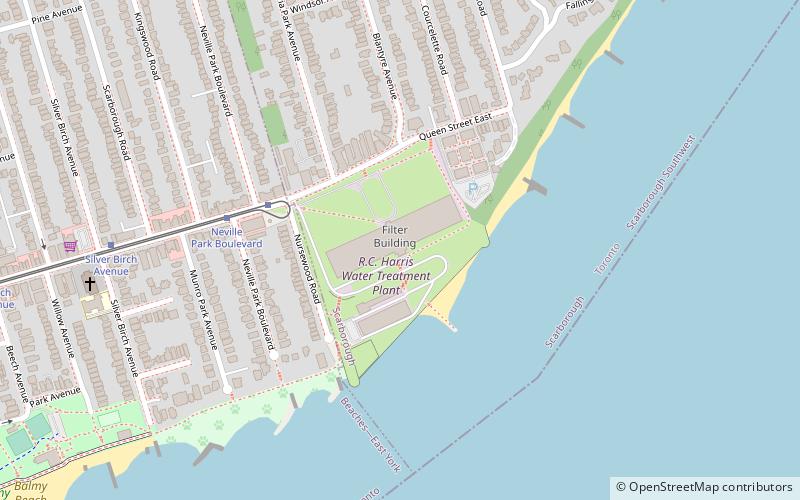
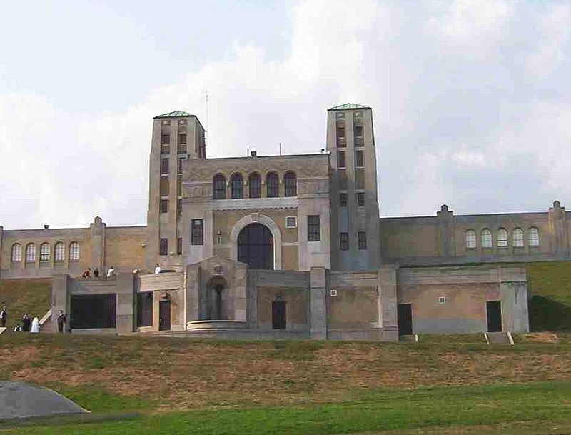
The R. C. Harris Water Treatment Plant in Toronto, Ontario, Canada, is both a crucial piece of infrastructure and an architecturally acclaimed historic building named after the longtime commissioner of Toronto's public works Roland Caldwell Harris. It is located in the east of the city at the eastern end of Queen Street and at the foot of Victoria Park Avenue along the shore of Lake Ontario in the Beaches neighbourhood in the former city of Scarborough. ()
Opened: 1941 (85 years ago)Architectural style: Art DecoCoordinates: 43°40'24"N, 79°16'44"W
Day trips
R. C. Harris Water Treatment Plant – popular in the area (distance from the attraction)
Nearby attractions include: Toronto Hunt Club, Shoppers World Danforth, Kew Gardens, Beach Hebrew Institute.
Frequently Asked Questions (FAQ)
Which popular attractions are close to R. C. Harris Water Treatment Plant?
Nearby attractions include George Davis House, Toronto (8 min walk), Church of St. Aidan, Toronto (9 min walk).
How to get to R. C. Harris Water Treatment Plant by public transport?
The nearest stations to R. C. Harris Water Treatment Plant:
Tram
Bus
Train
Metro
Tram
- Neville Park Boulevard • Lines: 501, 501;301 (5 min walk)
- Silver Birch Avenue • Lines: 501, 501;301 (9 min walk)
Bus
- Queen Street East • Lines: 404 (23 min walk)
- Williamson Road • Lines: 404 (23 min walk)
Train
- Danforth (36 min walk)
Metro
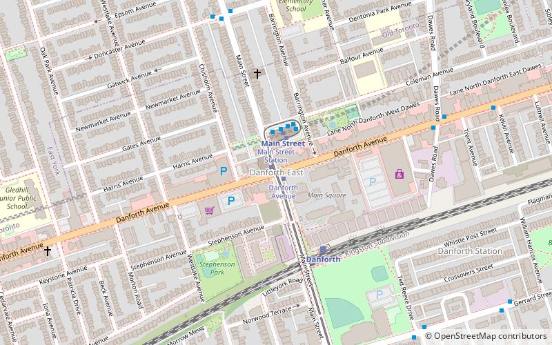
- Main Street • Lines: 2 (41 min walk)
 Subway
 Streetcar system
 PATH
PATH