Lansdowne, Edmonton
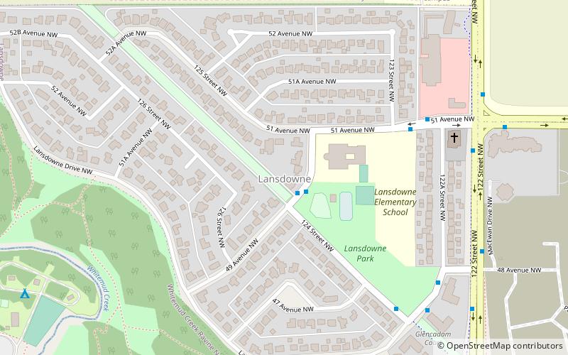
Map
Facts and practical information
Lansdowne is a neighbourhood in south west Edmonton, Alberta, Canada overlooking the Whitemud Creek Ravine. The Snow Valley Ski Hill is located near the neighbourhood. The neighbourhood is situated directly across from Michener Park, a residential complex for students staying at the University of Alberta. ()
Area: 143.32 acres (0.2239 mi²)Coordinates: 53°29'14"N, 113°32'49"W
Address
Southwest Edmonton (Lansdowne)Edmonton
ContactAdd
Social media
Add
Getting there by public transportation
Public transportation stops near this location
- Bus
- Light rail
 Bus
Bus
- Calculate routeFox Drive & Keillor Road 31 min walk
- Calculate routeBelgravia Road & Fox Drive 31 min walk
- Calculate routeSouth Campus Transit Centre 34 min walk
- Calculate routeSouth Campus/Fort Edmonton Park 34 min walk
Day trips


Frequently Asked Questions (FAQ)
Which popular attractions are close to Lansdowne?
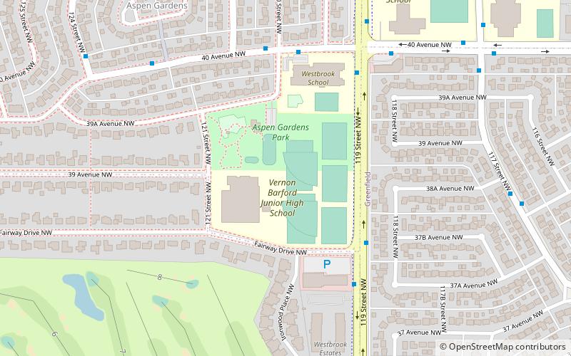
Nearby attractions include Aspen Gardens, Edmonton (19 min walk), Malmo Plains, Edmonton (20 min walk), Royal Gardens Community League, Edmonton (21 min walk), Brookside, Edmonton (23 min walk).
How to get to Lansdowne by public transport?
The nearest stations to Lansdowne:
Bus
Light rail
Bus
- Fox Drive & Keillor Road • Lines: 4 (31 min walk)
- Belgravia Road & Fox Drive • Lines: 4 (31 min walk)
Light rail
- South Campus/Fort Edmonton Park • Lines: 501, 502 (34 min walk)