Ebbers, Edmonton
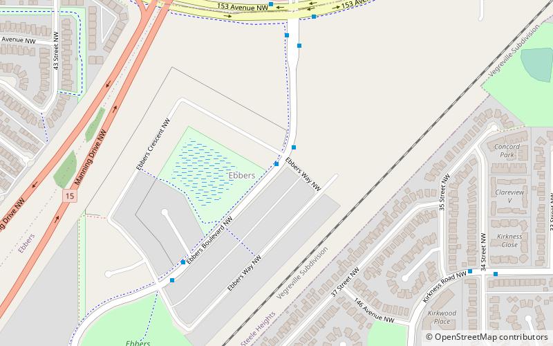
Map
Facts and practical information
Area: 130.97 acres (0.2046 mi²)Coordinates: 53°36'40"N, 113°24'0"W
Address
Northeast EdmontonEdmonton
ContactAdd
Social media
Add
Getting there by public transportation
Public transportation stops near this location
- Bus
- Light rail
 Bus
Bus
- Calculate routeClareview Transit Centre 20 min walk
- Calculate routeFort Road & 134 Ave 42 min walk
- Calculate routeClareview 20 min walk
Day trips
Frequently Asked Questions (FAQ)
Which popular attractions are close to Ebbers?
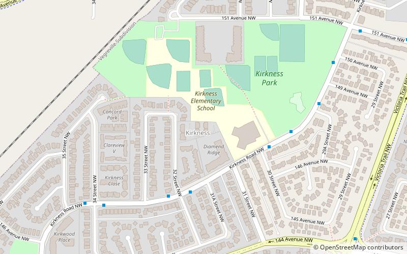
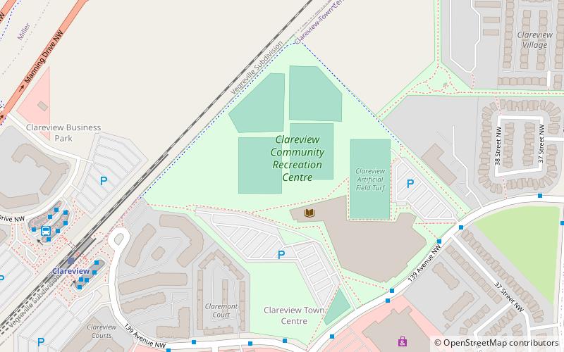
Nearby attractions include Kirkness, Edmonton (12 min walk), Miller, Edmonton (14 min walk), Clareview Town Centre, Edmonton (15 min walk), Hairsine, Edmonton (17 min walk).
How to get to Ebbers by public transport?
The nearest stations to Ebbers:
Bus
Light rail
Bus
- Clareview Transit Centre • Lines: 2, 2-Owl (20 min walk)
- Fort Road & 134 Ave • Lines: 2 (42 min walk)
Light rail
- Clareview • Lines: 501 (20 min walk)