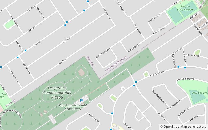
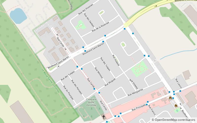
Pierrefonds-Roxboro, Montreal
Map
Facts and practical information
Pierrefonds-Roxboro is a borough of the city of Montreal. It was created January 1, 2006, following the demerger of parts of the city. ()
Getting there by public transportation
Public transportation stops near this location
- Bus
 Bus
Bus
- Calculate routeSunshine / Forest 4 min walk
- Calculate routeSunshine / de la Madeleine 5 min walk
- Calculate route14e Rue / 13e Avenue 6 min walk
- Calculate route14e Rue / 11e Avenue 6 min walk
Maps Metro
Metro
MetroDay trips


Frequently Asked Questions (FAQ)
How to get to Pierrefonds-Roxboro by public transport?
The nearest stations to Pierrefonds-Roxboro:
Bus
Bus
- Sunshine / Forest • Lines: 208-E, 208-O (4 min walk)
- Sunshine / de la Madeleine • Lines: 208-E (5 min walk)