Rockcliffe–Smythe, Toronto
Map
Gallery
Facts and practical information
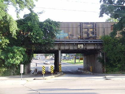
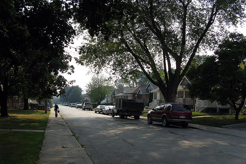
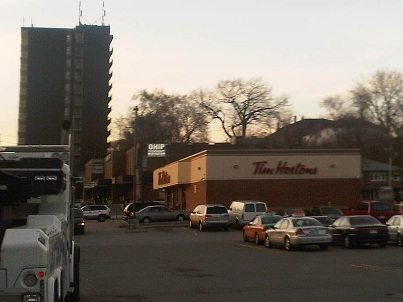
Rockcliffe–Smythe is a neighbourhood in Toronto, Ontario, Canada. It was part of the former City of York before the amalgamation of Toronto in 1998. It is in Ward 5 in the City of Toronto. ()
Coordinates: 43°40'31"N, 79°29'19"W
Address
York (Rockcliffe-Smythe)Toronto
ContactAdd
Social media
Add
Day trips
Rockcliffe–Smythe – popular in the area (distance from the attraction)
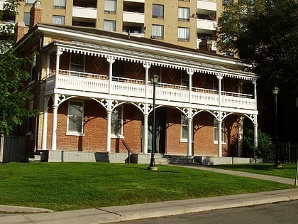
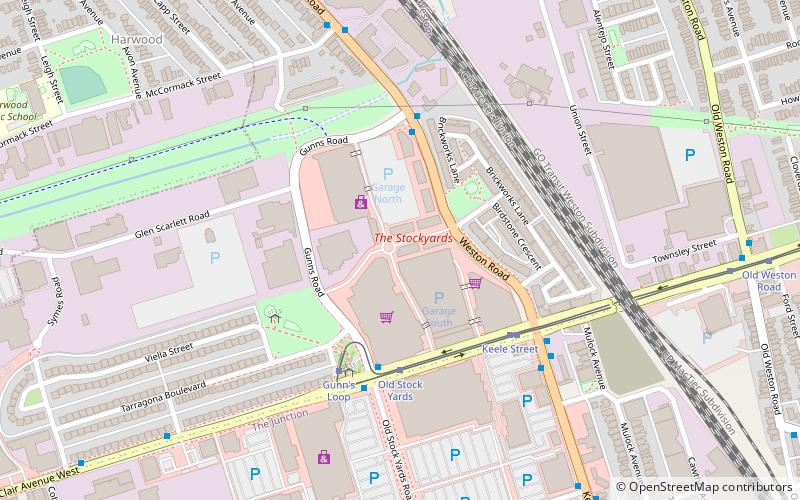
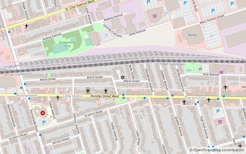
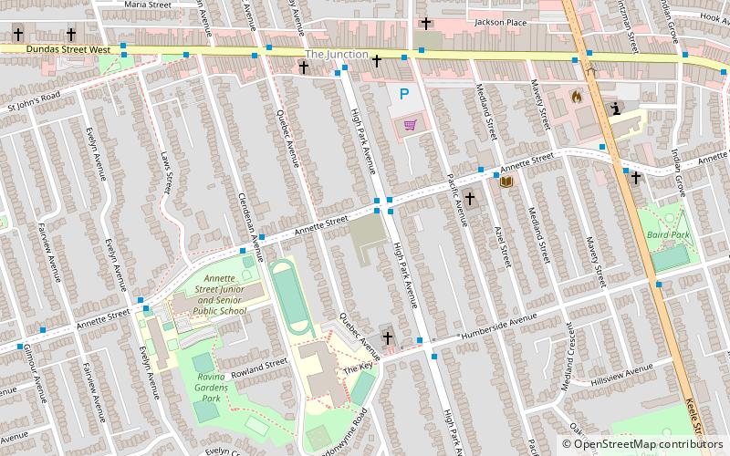
Nearby attractions include: Lambton House, The Stockyards, Congregation Knesseth Israel, Portuguese Seventh-day Adventist Church.
Frequently Asked Questions (FAQ)
Which popular attractions are close to Rockcliffe–Smythe?
Nearby attractions include Runnymede Park, Toronto (18 min walk), Congregation Knesseth Israel, Toronto (23 min walk).
How to get to Rockcliffe–Smythe by public transport?
The nearest stations to Rockcliffe–Smythe:
Bus
Tram
Bus
- Weston Road at Humber Boulevard North • Lines: 89 (18 min walk)
- Humber Boulevard at Weston Road • Lines: 161 (18 min walk)
Tram
- Gunn's Loop • Lines: 512 (23 min walk)
- Old Stock Yards • Lines: 512 (24 min walk)



 Subway
 Streetcar system
 PATH
PATH