Silverthorn, Toronto


Facts and practical information
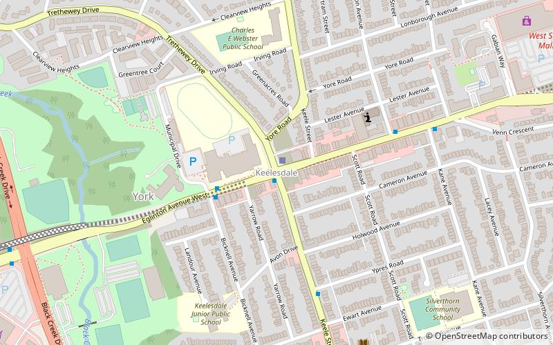
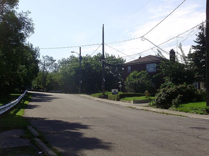
Silverthorn, often misspelled as Silverthorne, is a neighbourhood in Toronto, Ontario, Canada. It was part of the former City of York before the amalgamation of Toronto in 1998. The approximate boundaries are the GO Transit Barrie line railway tracks to the east, Black Creek Drive and the CP railway line to the west and the former boundaries of the City of York to the north and south. The neighbourhood west of Keele Street is known as Keelesdale. For demographic purposes, the city breaks the area down into two neighbourhoods Keelesdale-Eglinton West, south of Eglinton, and Beechborough-Greenbrook north of Eglinton. ()
York (Silverthorn)Toronto
Silverthorn – popular in the area (distance from the attraction)
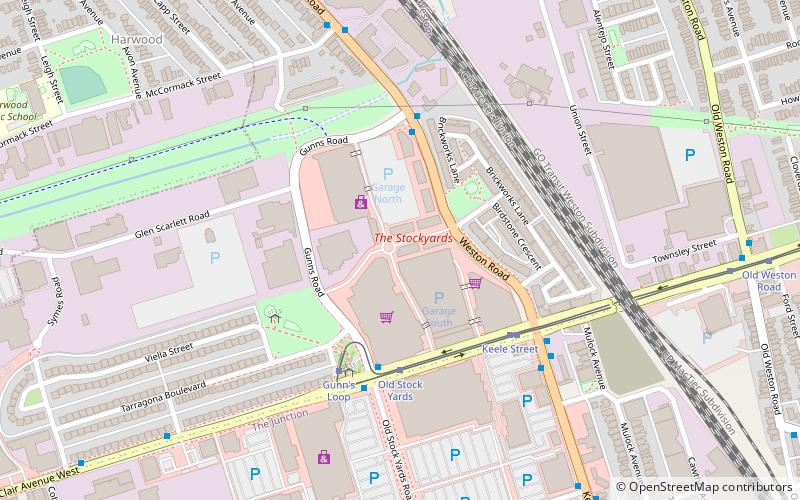
Nearby attractions include: The Stockyards, Fairbank, Earlscourt, Rockcliffe–Smythe.
Frequently Asked Questions (FAQ)
How to get to Silverthorn by public transport?
Bus
- Humber Boulevard at Weston Road • Lines: 161 (14 min walk)
- Weston Road at Humber Boulevard North • Lines: 89 (15 min walk)
Tram
- Old Weston Road • Lines: 512 (34 min walk)
- Silverthorn Avenue • Lines: 512 (34 min walk)

 Subway
 Streetcar system
 PATH
PATH


