Fabre, Laval
Map
Facts and practical information
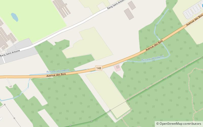
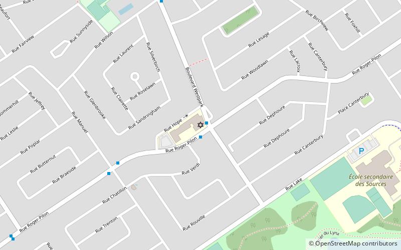
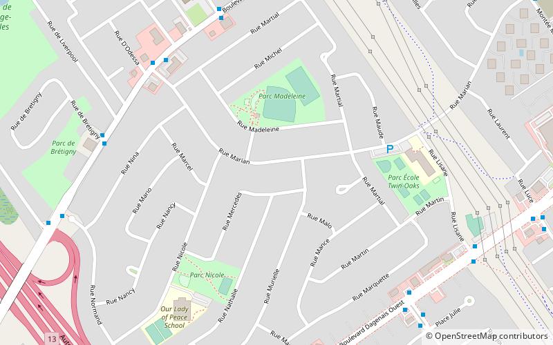
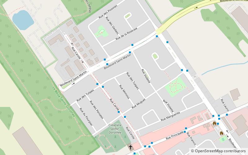
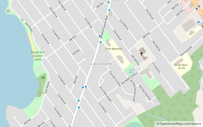
Fabre is a provincial electoral district in Quebec, Canada, that elects members to the National Assembly of Quebec. The district is located in Laval and includes the westernmost portion of Île Jésus west of Autoroute 15 in the northern half of the district and west of Autoroute 13 in the southern half. ()
Coordinates: 45°32'38"N, 73°50'13"W
Address
Saint DorothéeLaval
ContactAdd
Social media
Add
Getting there by public transportation
Public transportation stops near this location
- Bus
 Bus
Bus
- Calculate routePrincipale / Dulude 14 min walk
- Calculate routePrincipale / Saint-Antoine 16 min walk
- Calculate routeSaint-Antoine / Principale 16 min walk
Day trips


Frequently Asked Questions (FAQ)
How to get to Fabre by public transport?
The nearest stations to Fabre:
Bus
Bus
- Principale / Dulude • Lines: 46N, 46S (14 min walk)
- Principale / Saint-Antoine • Lines: 46N (16 min walk)