Forest Lawn, Calgary
Facts and practical information
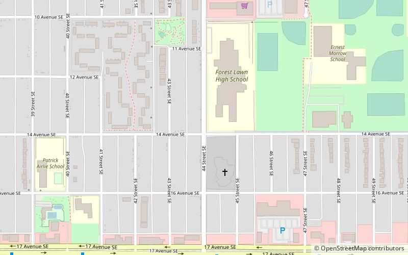
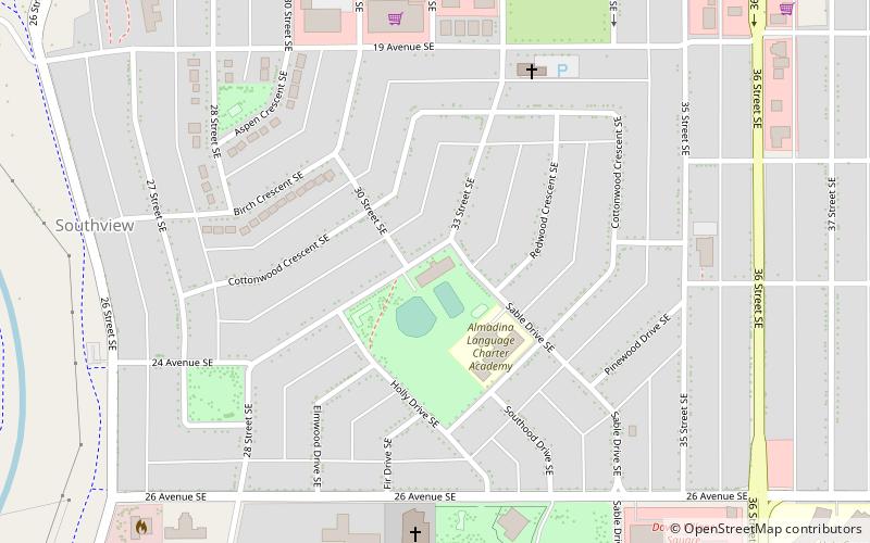
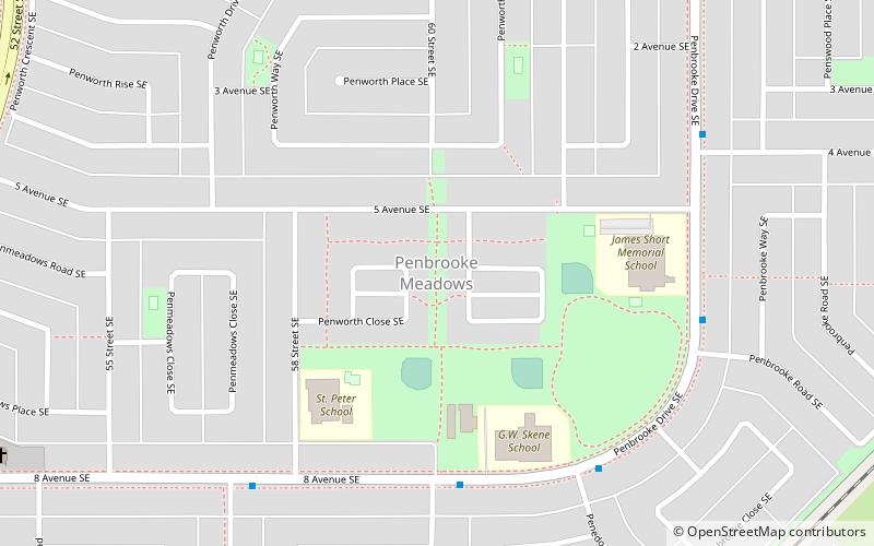
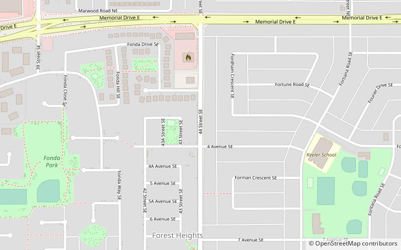
Forest Lawn is a neighbourhood and former town in the southeast quadrant of the city of Calgary, Alberta, Canada. The neighbourhood is bound by 26 Avenue SE to the south, 36 Street SE to the west, 8 Avenue SE to the north and portions of 52 Street SE and 48 Street SE to the east. The former town comprises the entire current Forest Lawn neighbourhood as well as portions of Southview and Albert Park/Radisson Heights to the west, and portions of Penbrooke Meadows and Forest Lawn Industrial to the east. Both the neighbourhood and the former town are bisected by the multicultural 17 Avenue SE. Forest Lawn has an area redevelopment plan in place and is part of the International Avenue Business Revitalization Zone. ()
Southeast Calgary (Forest Heights)Calgary
- Bus
- Light rail
 Bus
Bus
- Calculate routeStop ID 5063 14 min walk
- Calculate routeStop ID 8834 19 min walk
- Calculate routeFranklin 29 min walk
- Calculate routeMarlborough 33 min walk


Frequently Asked Questions (FAQ)
Which popular attractions are close to Forest Lawn?
How to get to Forest Lawn by public transport?
Bus
- Stop ID 5063 • Lines: 1, 176, 45 (14 min walk)
- Stop ID 8834 • Lines: 1 (19 min walk)
Light rail
- Franklin • Lines: 202 (29 min walk)
- Marlborough • Lines: 202 (33 min walk)