Calgary-East, Calgary
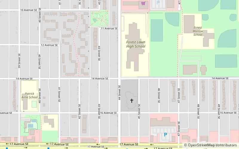
Map
Facts and practical information
Calgary-East is a provincial electoral district in Alberta, Canada. The district is mandated to return a single member to the Legislative Assembly of Alberta. ()
Coordinates: 51°2'60"N, 113°58'12"W
Address
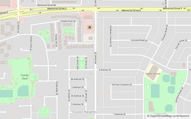
Southeast Calgary (Forest Heights)Calgary
ContactAdd
Social media
Add
Getting there by public transportation
Public transportation stops near this location
- Bus
- Light rail
 Bus
Bus
- Calculate routeMarlborough 20 min walk
- Calculate routeFranklin 27 min walk
- Calculate routeStop ID 5063 24 min walk
- Calculate routeStop ID 8834 25 min walk
Day trips


Frequently Asked Questions (FAQ)
How to get to Calgary-East by public transport?
The nearest stations to Calgary-East:
Light rail
Bus
Light rail
- Marlborough • Lines: 202 (20 min walk)
- Franklin • Lines: 202 (27 min walk)
Bus
- Stop ID 5063 • Lines: 1, 176, 45 (24 min walk)
- Stop ID 8834 • Lines: 1 (25 min walk)