Southview, Calgary
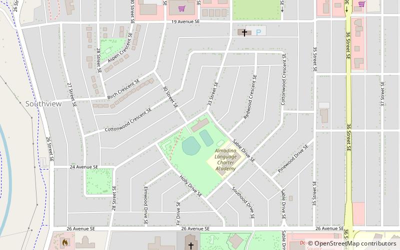
Map
Facts and practical information
Southview is a residential neighbourhood in the southeast quadrant of Calgary, Alberta. It is bounded by 17 Avenue SE to the north, 36 Street SE to the east, 26 Avenue SE to the south and the Bow River to the west. ()
Coordinates: 51°1'60"N, 113°59'17"W
Address
2020 33 Street SESoutheast Calgary (Southview)Calgary
Contact
+1 403-272-1407
Social media
Add
Day trips
Southview – popular in the area (distance from the attraction)
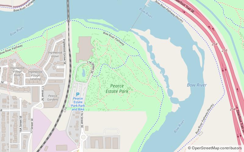
Nearby attractions include: Pearce Estate Wetland, Bow Habitat Station/Sam Livingston Fish Hatchery, Ernie Starr Arena, Radisson Heights.
Frequently Asked Questions (FAQ)
Which popular attractions are close to Southview?
Nearby attractions include Dover Community Association, Calgary (12 min walk), Radisson Heights, Calgary (21 min walk).
How to get to Southview by public transport?
The nearest stations to Southview:
Light rail
Bus
Light rail
- Franklin • Lines: 202 (26 min walk)
- Barlow/Max Bell • Lines: 202 (31 min walk)
Bus
- Barlow / Max Bell (31 min walk)
