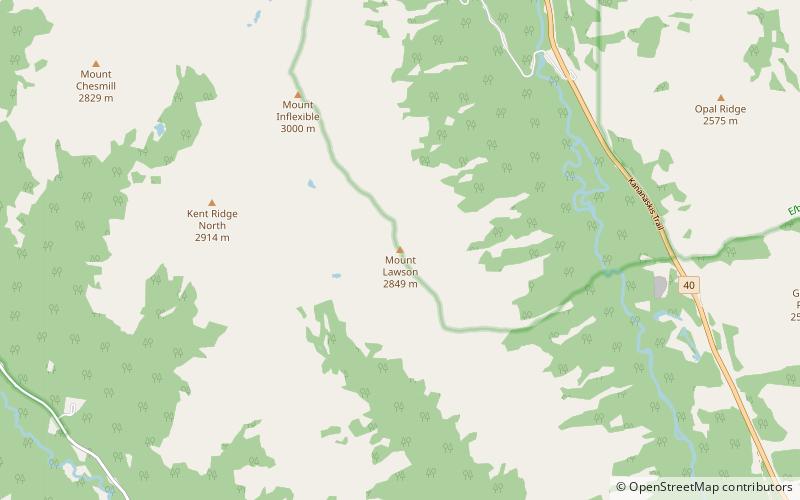
Mount Lawson
#1788 among destinations in Canada

Facts and practical information
Mount Lawson was named by Walter Wilcox and H.G. Bryant in 1922. It is located in the Kananaskis Range in Alberta. ()
AlbertaCanada
Mount Lawson – popular in the area (distance from the attraction)
Nearby attractions include: Chester Lake, The Fortress, Mount Wintour, Mount Chester.
 Nature, Natural attraction, Lake
Chester Lake
125 min walk • Chester Lake is a small lake in the Alberta side of the Canadian Rockies. It is located in the valley north west of Mount Chester in Spray Valley Provincial Park, Kananaskis Country in Alberta, Canada.
 Nature, Natural attraction, Mountain
The Fortress
126 min walk • The Fortress is a mountain located SE of Gusty Peak in the Kananaskis River Valley of Kananaskis Park of the Canadian Rockies. When viewed from Highway 40, the north face presents a fortress like appearance.
 Mountain
Mount Wintour
175 min walk • Mount Wintour is a 2,700-metre ridge-like mountain summit located in the Opal Range of the Canadian Rockies of Alberta, Canada. It is situated in the Kananaskis River Valley east of Lower Kananaskis Lake and Highway 40 in Peter Lougheed Provincial Park. Its nearest higher peak is Mount Jerram, 2.3 km to the east.
 Nature, Natural attraction, Mountain
Mount Chester
109 min walk • Mount Chester is a mountain located in the Smith-Dorrien Creek Valley of Kananaskis in the Canadian Rockies. The mountain was named in 1917 after HMS Chester, which was severely damaged in the Battle of Jutland.
 Mountain
Mount Packenham
112 min walk • Mount Packenham is a 3,000-metre mountain summit located in the Opal Range of the Canadian Rockies of Alberta, Canada. Its nearest higher peak is Mount Evan-Thomas, 1.0 km to the north.
 Mountain
Mount Black Prince
140 min walk • Mount Black Prince is a 2,939-metre mountain summit located in Peter Lougheed Provincial Park in the Canadian Rockies of Alberta, Canada. Its nearest higher peak is Mount Smith Dorrien, 5.8 km to the northwest. The mountain can be seen from highway 742, also known as Smith-Dorrien/Spray Trail.
 Mountain
Mount James Walker
77 min walk • Mount James Walker is a 3,035-metre mountain summit located in Kananaskis Country in the Canadian Rockies of Alberta, Canada. Mount James Walker is situated within Spray Valley Provincial Park, and its nearest higher peak is Mount Galatea, 5.0 km to the northwest.
 Mountain
Mount Jellicoe
144 min walk • Mount Jellicoe is a 3,075-metre mountain summit located in Peter Lougheed Provincial Park in the Canadian Rockies of Alberta, Canada. Its nearest higher peak is Mount Smith-Dorrien, 2.0 km to the north. The Haig Glacier lies below the west aspect of Jellicoe, and the...
 Mountain
Mount Evan-Thomas, Elbow-Sheep Wildland Provincial Park
105 min walk • Mount Evan-Thomas is a 3,097-metre mountain summit located in the Opal Range of the Canadian Rockies of Alberta, Canada. Mount Evan-Thomas is the highest point in the Opal Range.
 Nature, Natural attraction, Lake
Headwall Lakes
95 min walk • The Headwall Lakes are in a valley south-east of Mount Chester in Kananaskis Country in Alberta, Canada. They can be accessed from the Smith-Dorrien / Spray Trail road.
 Mountain
Mount Blane, Elbow-Sheep Wildland Provincial Park
148 min walk • Mount Blane is a 2,993-metre mountain summit located in the Opal Range of the Canadian Rockies of Alberta, Canada. Its nearest higher peak is Mount Jerram, 3.3 km to the southeast.