Longfields, Ottawa
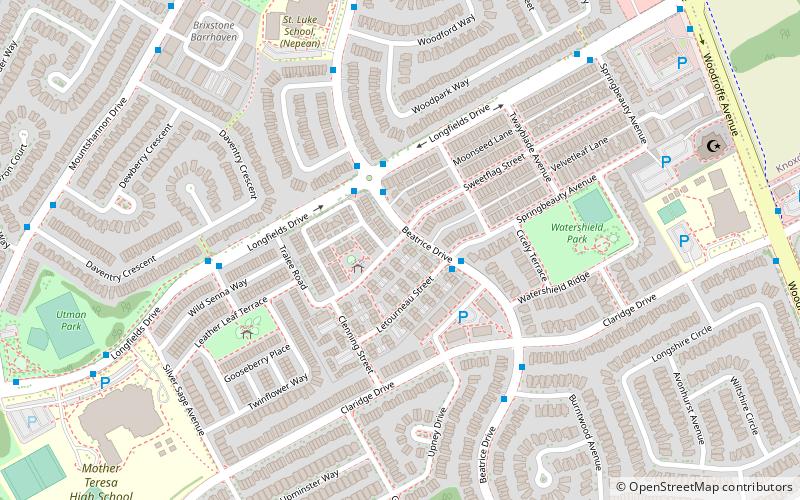
Map
Map

Facts and practical information
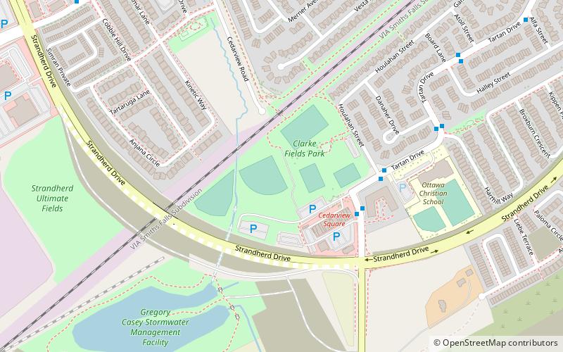
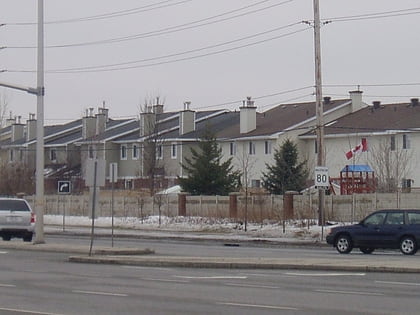
Longfields is a neighbourhood in Barrhaven Ward in Ottawa, Ontario. This recent neighbourhood is located within the growing suburb of Barrhaven in the city's southwest and is bordered by Greenbank Road to the west, Strandherd Drive to the south, Woodroffe Avenue to the east, the CNR railway on the northwest and Fallowfield Road to the north. ()
Coordinates: 45°17'15"N, 75°43'60"W
Address
BarrhavenOttawa
ContactAdd
Social media
Add
Day trips
Longfields – popular in the area (distance from the attraction)
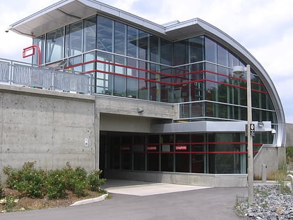
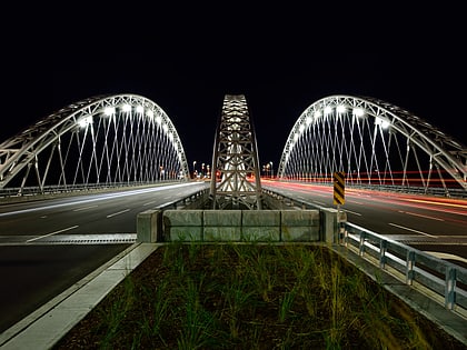
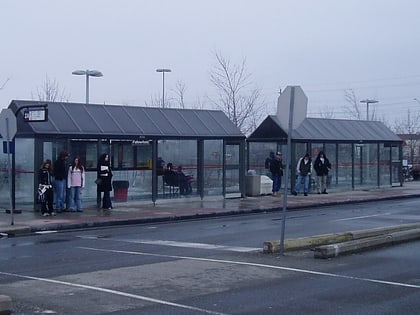
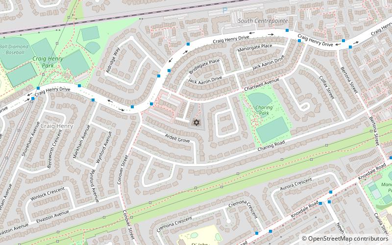
Nearby attractions include: Vimy Memorial Bridge, Fallowfield station, Beit Tikvah of Ottawa, Superdome at Ben Franklin Park.
Frequently Asked Questions (FAQ)
How to get to Longfields by public transport?
The nearest stations to Longfields:
Bus
Train
Bus
- Beatrice / Letourneau • Lines: 277 (2 min walk)
- Longfields / Beatrice • Lines: 171 (2 min walk)
Train
- Fallowfield (22 min walk)
