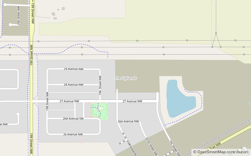
The Uplands, Edmonton
Map
Facts and practical information
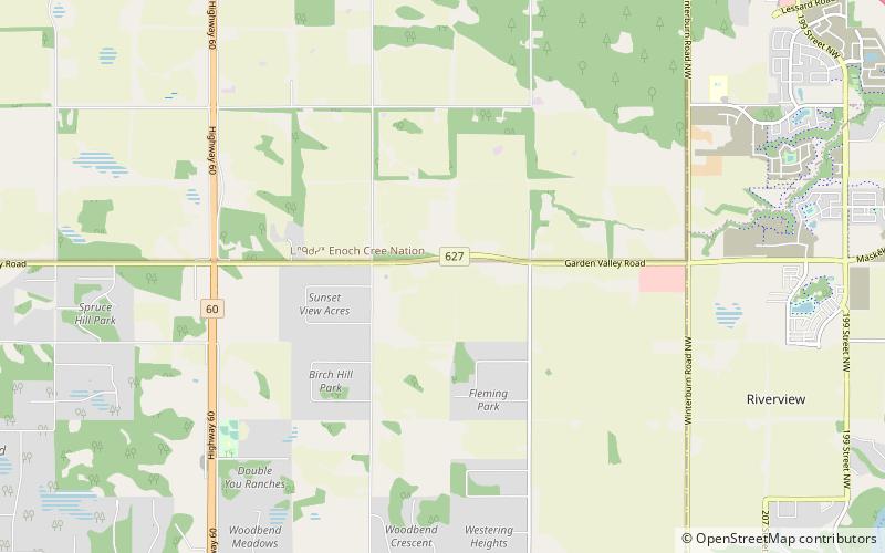
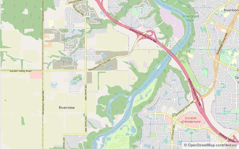
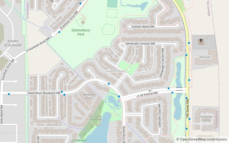
The Uplands, briefly known as Balsam Woods, is a future neighbourhood in west Edmonton, Alberta, Canada. Subdivision and development of the neighbourhood will be guided by the Riverview Neighbourhood 1 Neighbourhood Structure Plan, which was adopted by Edmonton City Council on September 22, 2015. It is located within the Riverview area of Edmonton and was originally considered Riverview Neighbourhood 1 within the Riverview Area Structure Plan. ()
Coordinates: 53°27'37"N, 113°39'29"W
Address
West Edmonton (Rural West)Edmonton
ContactAdd
Social media
Add
Day trips