Little Jamaica, Toronto
Map

Gallery

Facts and practical information
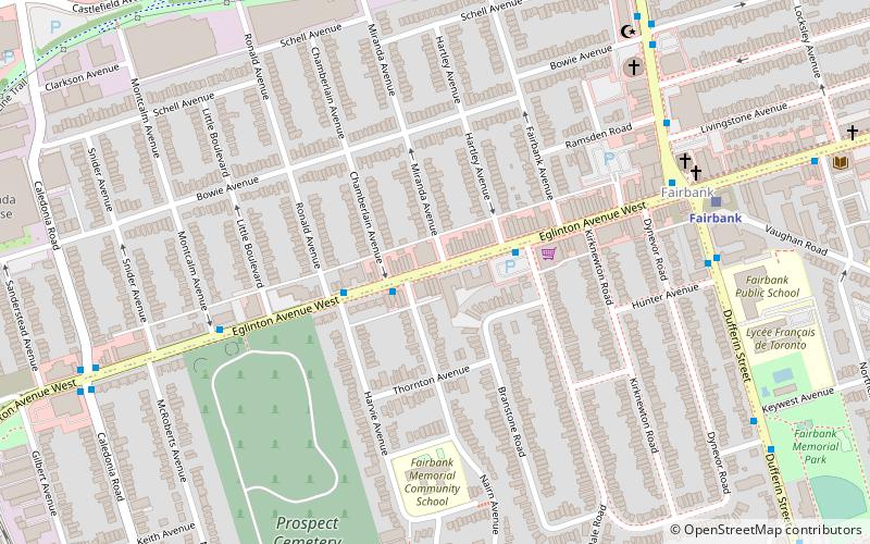
Little Jamaica, also known as Eglinton West, is an ethnic enclave in the York district of Toronto, Ontario, Canada. It is situated along Eglinton Avenue West, from Allen Road to Keele Street, and is part of four neighbourhoods: Silverthorn, Briar Hill–Belgravia, Caledonia–Fairbank, and Oakwood–Vaughan. The commercial main street has been recognized to be of great cultural heritage significance to the City of Toronto, as a distinct ethnic and cultural hub for African-Caribbean immigrants for many decades. ()
Coordinates: 43°41'40"N, 79°27'19"W
Address
York (Fairbanks)Toronto
ContactAdd
Social media
Add
Day trips
Little Jamaica – popular in the area (distance from the attraction)
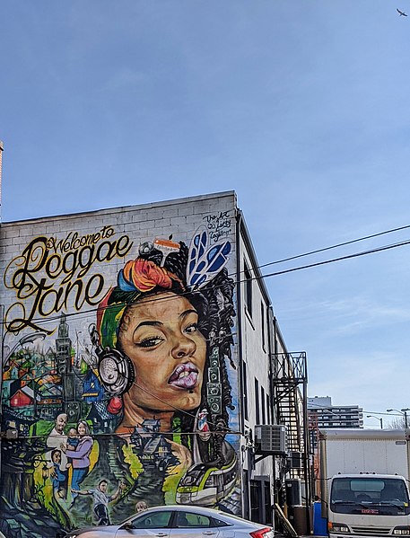
Nearby attractions include: Fairbank Memorial Park, Reggae Lane, Fairbank, Silverthorn.
Frequently Asked Questions (FAQ)
Which popular attractions are close to Little Jamaica?
Nearby attractions include Fairbank, Toronto (7 min walk), Fairbank Memorial Park, Toronto (12 min walk), Reggae Lane, Toronto (19 min walk), Oakwood Village, Toronto (19 min walk).
How to get to Little Jamaica by public transport?
The nearest stations to Little Jamaica:
Bus
Metro
Tram
Bus
- Glenholme Avenue • Lines: 363 (14 min walk)
- Oakwood Avenue • Lines: 363, 63 (17 min walk)
Metro
- Eglinton West • Lines: 1 (26 min walk)
- Glencairn • Lines: 1 (32 min walk)
Tram
- Dufferin Street • Lines: 512 (34 min walk)
- Northcliffe • Lines: 512 (34 min walk)

 Subway
 Streetcar system
 PATH
PATH


