Little Maghreb, Montreal
Map
Facts and practical information
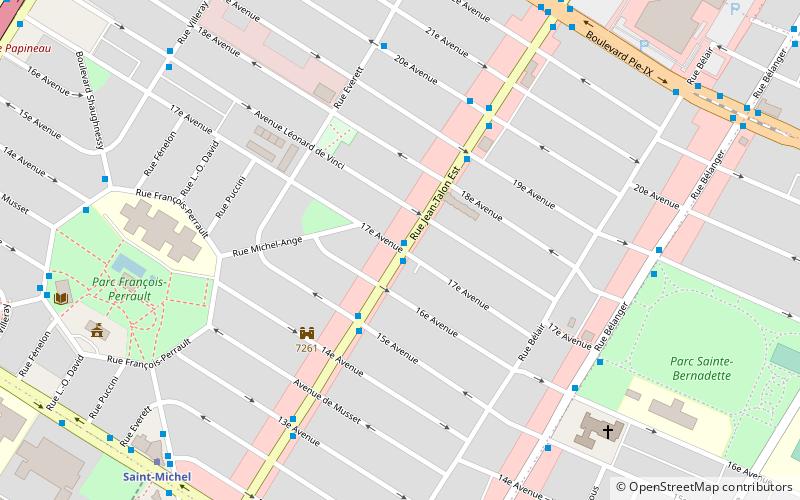
Little Maghreb is a neighbourhood in the borough of Villeray–Saint-Michel–Parc-Extension in Montreal. The neighbourhood is centered on fifteen blocks of Jean Talon Street stretching from Saint-Michel Boulevard in the West to Pie-IX Boulevard in the East. Maghrebi merchants in the area, mainly from Algeria, Morocco and Tunisia, have joined together to create a Little Maghreb identity for the neighbourhood, in the same way as Chinatown had become a symbol for Chinese Montrealers, and Little Italy had become the focal point of the city's Italian community. ()
Address
Villeray-Saint-Michel-Parc-Extension (François-Perrault)Montreal
ContactAdd
Social media
Add
Getting there by public transportation
Public transportation stops near this location
- Metro
- Bus
 Metro
Metro
- Calculate routeJean-Talon / 17e Avenue 1 min walk
- Calculate routeJean-Talon / 19e Avenue 3 min walk
- Calculate routeJean-Talon / 20e Avenue 5 min walk
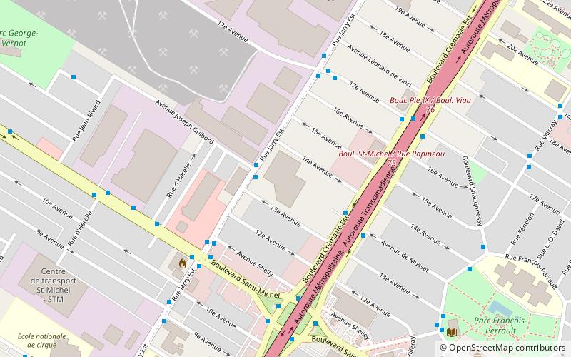
- Calculate routeSaint-Michel 9 min walk
- Calculate routeD’Iberville 20 min walk
- Calculate routeFabre 33 min walk
Maps Metro
Metro
MetroDay trips


Frequently Asked Questions (FAQ)
How to get to Little Maghreb by public transport?
The nearest stations to Little Maghreb:
Bus
Metro
Bus
- Jean-Talon / 17e Avenue • Lines: 141-E, 141-O, 188-E, 188-O, 41-E, 41-O, 93-E, 93-O (1 min walk)
- Jean-Talon / 19e Avenue • Lines: 41-E, 93-E (3 min walk)
Metro
- Saint-Michel • Lines: 5 (9 min walk)
- D’Iberville • Lines: 5 (20 min walk)