Kodak Heights, Toronto

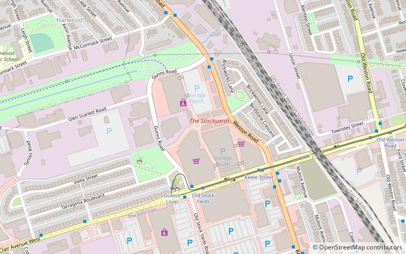
Map
Facts and practical information
Kodak Mount Dennis Campus, also known as Kodak Heights, was an industrial park in the Mount Dennis neighbourhood of Toronto, Ontario, Canada. It was owned and operated by the Eastman Kodak Company as a major camera manufacturing factory since its opening in 1912, peaking at 900 employees in 1925, 3,000 in the 1970s, falling to about 800 before it ceased the plant's operations in 2006. ()
Coordinates: 43°41'19"N, 79°29'16"W
Address
York (Keelesdale)Toronto
ContactAdd
Social media
Add
Day trips
Kodak Heights – popular in the area (distance from the attraction)
Nearby attractions include: The Stockyards, Mount Dennis, Silverthorn, Rockcliffe–Smythe.
Frequently Asked Questions (FAQ)
Which popular attractions are close to Kodak Heights?
Nearby attractions include Silverthorn, Toronto (17 min walk), Rockcliffe–Smythe, Toronto (24 min walk).
How to get to Kodak Heights by public transport?
The nearest stations to Kodak Heights:
Bus
Tram
Bus
- Weston Road at Humber Boulevard North • Lines: 89 (14 min walk)
- Humber Boulevard at Weston Road • Lines: 161 (14 min walk)
Tram
- Gunn's Loop • Lines: 512 (36 min walk)
- Old Stock Yards • Lines: 512 (37 min walk)
 Subway
 Streetcar system
 PATH
PATH


