Gloucester Glen, Ottawa
Map
Facts and practical information
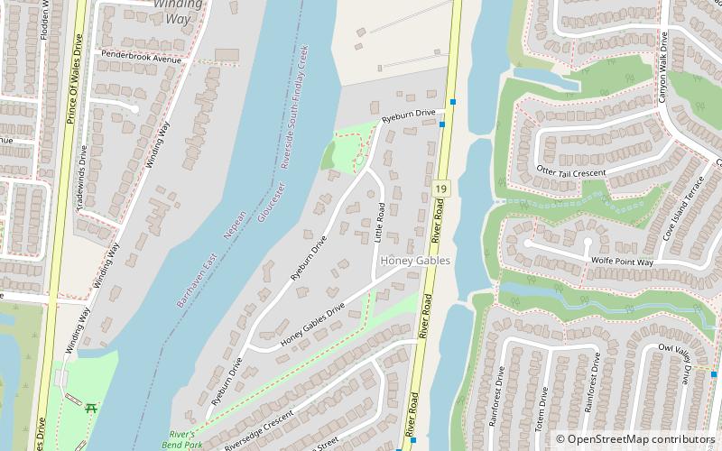
Gloucester Glen is a community on the Rideau River in eastern Ontario, Canada. It is located in the former City of Gloucester in the City of Ottawa. It is between the communities of Cedardale to the north and Honey Gables to the south, and bound by the Rideau River to the west and River Road to the east, adjacent to the new Riverside South subdivision. It is a very quiet community with many older homes. There are approximately only 45 houses that make up this community. ()
Coordinates: 45°16'55"N, 75°41'45"W
Address
Riverside SouthOttawa
ContactAdd
Social media
Add
Day trips
Gloucester Glen – popular in the area (distance from the attraction)
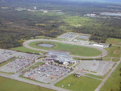
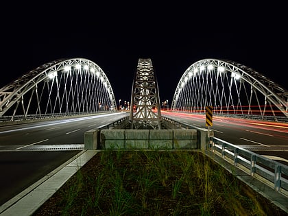
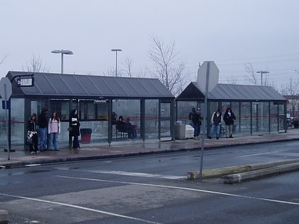
Nearby attractions include: Rideau Carleton Raceway, Watson's Mill, Vimy Memorial Bridge, Fallowfield station.
Frequently Asked Questions (FAQ)
How to get to Gloucester Glen by public transport?
The nearest stations to Gloucester Glen:
Bus
Bus
- River / Honey Gables • Lines: 198 (3 min walk)
