39 Commissioner Street, Toronto
Map

Map

Facts and practical information
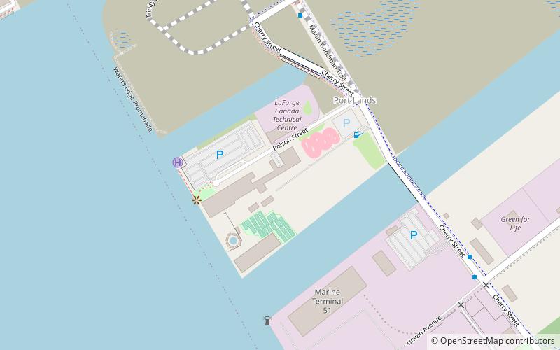
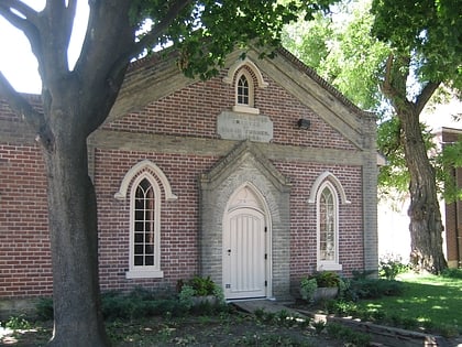
The Toronto Harbour Commission built a firehall at 39 Commissioner Street to help attract industrial enterprises to the newly reclaimed Toronto Portlands in 1928. It was integrated into Toronto's Fire Services as Station 30. It was sold to the Toronto Firefighter's Association. The Association moved, and sold the building in 2015. ()
Coordinates: 43°38'46"N, 79°21'0"W
Address
Port LandsToronto
ContactAdd
Social media
Add
Day trips
39 Commissioner Street – popular in the area (distance from the attraction)
Nearby attractions include: Rebel, St. Lawrence Market, Gooderham Building, Cherry Beach.
Frequently Asked Questions (FAQ)
Which popular attractions are close to 39 Commissioner Street?
Nearby attractions include Toronto waterfront, Toronto (6 min walk), Cherry Street lift bridge, Toronto (6 min walk), Cherry Street Strauss Trunnion Bascule Bridge, Toronto (9 min walk), Port Lands, Toronto (12 min walk).
How to get to 39 Commissioner Street by public transport?
The nearest stations to 39 Commissioner Street:
Tram
Bus
Ferry
Tram
- Mill Street, Distillery Loop • Lines: 504A (13 min walk)
- Front Street East • Lines: 504A (16 min walk)
Bus
- Bayview Avenue • Lines: 121 (14 min walk)
- Front Street East • Lines: 121 (15 min walk)
Ferry
- Ward's Island • Lines: Ward's Island (28 min walk)

 Subway
 Streetcar system
 PATH
PATH

