Port of Toronto, Toronto

Gallery (1)
Map
Map
Facts and practical information
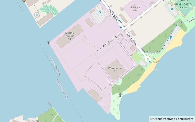
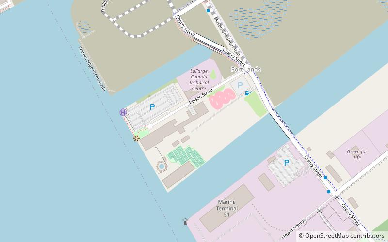
The Port of Toronto is an inland port in Toronto, Ontario, Canada located on the eastern shore of the Toronto Harbour in an area known as the Port Lands. The port is operated by PortsToronto. PortsToronto directly operates a 21-hectare paved facility consisting of Marine Terminal 51, Warehouse 52, and the International Marine Passenger Terminal in the southwest corner of the Port Lands. ()
Coordinates: 43°38'13"N, 79°20'56"W
Address
Port LandsToronto
ContactAdd
Social media
Add
Getting there by public transportation
Public transportation stops near this location
- Bus
- Tram
- Ferry
 Bus
Bus
- Calculate routeWard's Island 15 min walk
- Calculate routeMill Street, Distillery Loop 27 min walk
- Calculate routeFront Street East 30 min walk
- Calculate routeParliament Street 34 min walk
- Calculate routeRichardson Street 27 min walk
- Calculate routeLake Shore Boulevard East 27 min walk
- Calculate routeTrinity Street 28 min walk
- Calculate routeLower Jarvis Street 29 min walk
Maps SubwayMaps
 Streetcar systemMaps
 PATH
PATH
SubwayMapsStreetcar systemMapsPATHDay trips


Frequently Asked Questions (FAQ)
Which popular attractions are close to Port of Toronto?
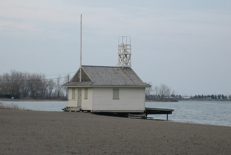
Nearby attractions include Cherry Beach, Toronto (7 min walk), Cherry Street Strauss Trunnion Bascule Bridge, Toronto (8 min walk), 39 Commissioner Street, Toronto (17 min walk), Queen City Yacht Club, Toronto (18 min walk).
How to get to Port of Toronto by public transport?
The nearest stations to Port of Toronto:
Ferry
Tram
Bus
Ferry
- Ward's Island • Lines: Ward's Island (15 min walk)
Tram
- Mill Street, Distillery Loop • Lines: 504A (27 min walk)
- Front Street East • Lines: 504A (30 min walk)
Bus
- Richardson Street • Lines: 19, 75 (27 min walk)
- Lake Shore Boulevard East • Lines: 75 (27 min walk)