Hardieville, Lethbridge
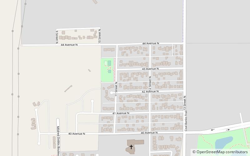
Map
Facts and practical information
Hardieville is a residential neighbourhood in the northwest quadrant of Lethbridge, Alberta, Canada. It is located north of Scenic Drive North and west of 13 Street North. It borders Legacy Ridge and Uplands to the southeast. ()
Coordinates: 49°44'25"N, 112°49'41"W
Address
HardievilleLethbridge
ContactAdd
Social media
Add
Day trips
Hardieville – popular in the area (distance from the attraction)
Nearby attractions include: Galt Museum & Archives, Park Place Mall, Lethbridge Viaduct, Indian Battle Park.
