Chinatowns in Toronto, Toronto
Map
Facts and practical information
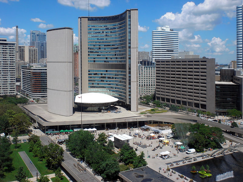
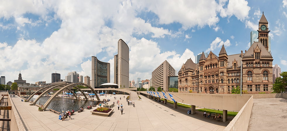
Toronto Chinatowns are ethnic enclaves in Toronto, Ontario, Canada, with a high concentration of ethnic Chinese residents and businesses. These neighbourhoods are major cultural, social and economic hubs for the Chinese-Canadian communities of the region. In addition to Toronto, several areas in the Greater Toronto Area also hold a high concentration of Chinese residents and businesses. ()
Coordinates: 43°39'14"N, 79°23'6"W
Address
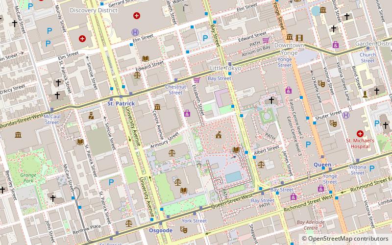
Downtown Toronto (Bay Street Corridor)Toronto
ContactAdd
Social media
Add
Getting there by public transportation
Public transportation stops near this location
- Metro
- Bus
- Tram
- Train
- Ferry
 Metro
Metro
- Calculate routeHagerman Street 3 min walk
- Calculate routeDundas Street West 4 min walk
- Calculate routeAlbert Street 4 min walk
- Calculate routeChestnut Street 3 min walk
- Calculate routeBay Street 4 min walk
- Calculate routeUniversity Avenue 4 min walk
- Calculate routeSt. Patrick 5 min walk
- Calculate routeOsgoode 7 min walk
- Calculate routeDundas 7 min walk
- Calculate routeQueen 8 min walk
- Calculate routeToronto Union Station 18 min walk
- Calculate routeJack Layton Ferry Terminal 28 min walk
Maps SubwayMaps
 Streetcar systemMaps
 PATH
PATH
SubwayMapsStreetcar systemMapsPATHDay trips
Chinatowns in Toronto – popular in the area (distance from the attraction)
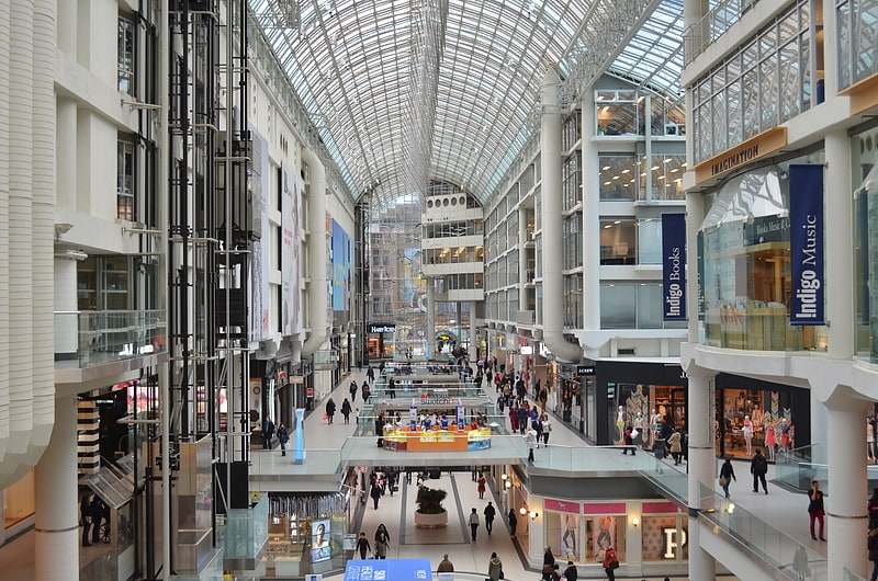
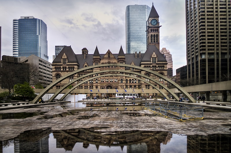
Nearby attractions include: CF Toronto Eaton Centre, Atrium on Bay, Old City Hall, Hudson's Bay.


Frequently Asked Questions (FAQ)
Which popular attractions are close to Chinatowns in Toronto?
Nearby attractions include First Chinatown, Toronto (1 min walk), Chestnut Residence, Toronto (1 min walk), Toronto Courthouse, Toronto (3 min walk), Textile Museum of Canada, Toronto (3 min walk).
How to get to Chinatowns in Toronto by public transport?
The nearest stations to Chinatowns in Toronto:
Bus
Tram
Metro
Train
Ferry
Bus
- Hagerman Street • Lines: 19 (3 min walk)
- Dundas Street West • Lines: 19 (4 min walk)
Tram
- Chestnut Street • Lines: 505 (3 min walk)
- Bay Street • Lines: 505 (4 min walk)
Metro
- St. Patrick • Lines: 1 (5 min walk)
- Osgoode • Lines: 1 (7 min walk)
Train
- Toronto Union Station (18 min walk)
Ferry
- Jack Layton Ferry Terminal • Lines: Toronto Island Ferry, Ward's Island (28 min walk)