Sherbourne Common, Toronto
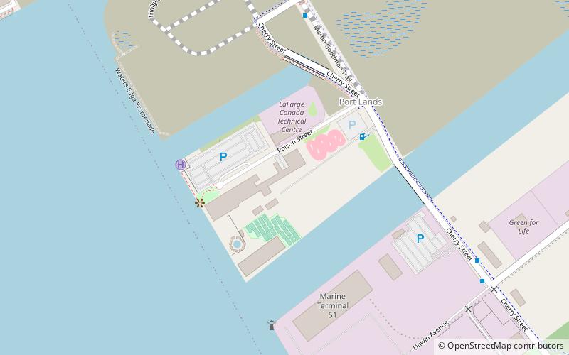
Map
Gallery
Facts and practical information
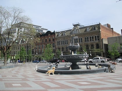
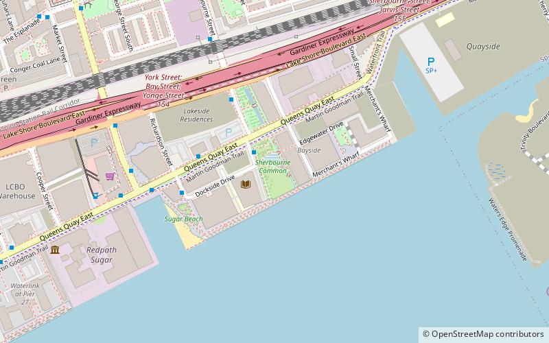
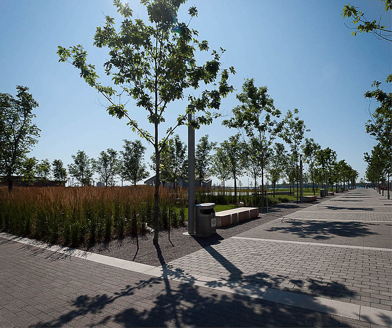
Sherbourne Common, designed by landscape architect Phillips Farevaag Smallenberg, is a waterfront park located in a former industrial area of Toronto. It is one of the earliest parks in Canada to incorporate a neighborhood-wide storm water treatment facility into its design. Located east of Lower Sherbourne Street, the 1.47 hectare park spans two city blocks. It stretches from Lake Ontario to Lake Shore Boulevard in the north. ()
Elevation: 253 ft a.s.l.Coordinates: 43°38'40"N, 79°21'53"W
Day trips
Sherbourne Common – popular in the area (distance from the attraction)
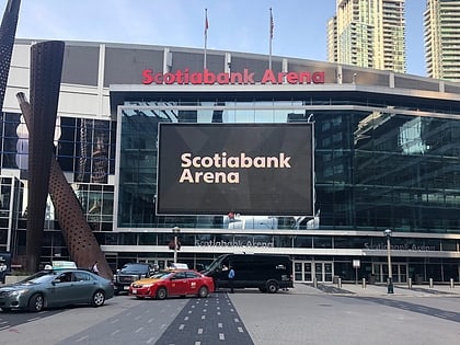
Nearby attractions include: Rebel, Air Canada Centre, St. Lawrence Market, Meridian Hall.
Frequently Asked Questions (FAQ)
Which popular attractions are close to Sherbourne Common?
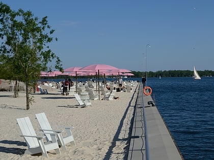
Nearby attractions include East Bayfront, Toronto (2 min walk), Sugar Beach, Toronto (4 min walk), Quayside, Toronto (6 min walk), David Crombie Park, Toronto (9 min walk).
How to get to Sherbourne Common by public transport?
The nearest stations to Sherbourne Common:
Bus
Tram
Ferry
Metro
Train
Bus
- Richardson Street • Lines: 19, 75 (4 min walk)
- Lake Shore Boulevard East • Lines: 75 (4 min walk)
Tram
- Sherbourne Street • Lines: 503, 504A, 504B (13 min walk)
- Ontario Street • Lines: 503, 504A, 504B (14 min walk)
Ferry
- Jack Layton Ferry Terminal • Lines: Toronto Island Ferry, Ward's Island (16 min walk)
- Ward's Island • Lines: Ward's Island (25 min walk)
Metro
- King • Lines: 1 (19 min walk)
- Union • Lines: 1 (20 min walk)
Train
- Toronto Union Station (20 min walk)

 Subway
 Streetcar system
 PATH
PATH
