Cheung Tsing Tunnel, Hong Kong
Map

Gallery

Facts and practical information
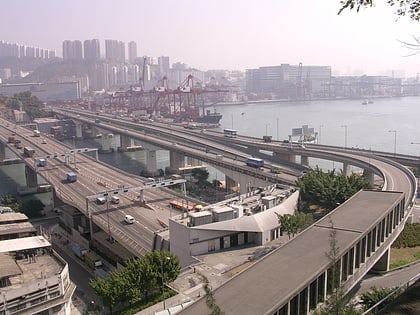
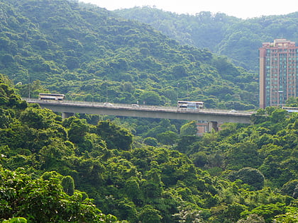
Cheung Tsing Tunnel, also spelled Cheung Ching Tunnel, is a dual tube 3-lane tunnel on Tsing Yi Island, Hong Kong. It is part of Route 3. Its east end connects to Cheung Tsing Bridge and west Cheung Tsing Highway. The tunnel was opened on 22 May 1997 and is the second toll-free tunnel in Hong Kong. Its length is about 1.6 kilometres. ()
Address
Hong Kong
ContactAdd
Social media
Add
Day trips
Cheung Tsing Tunnel – popular in the area (distance from the attraction)
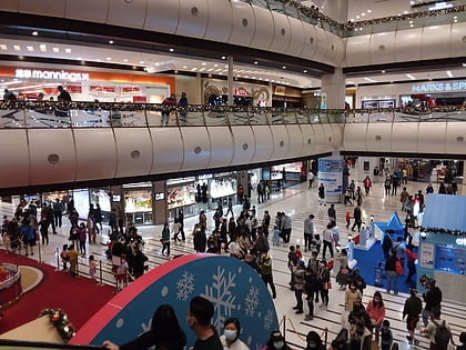
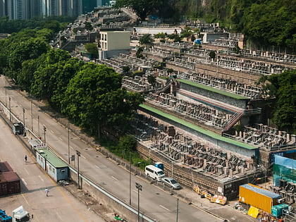
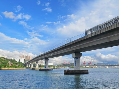
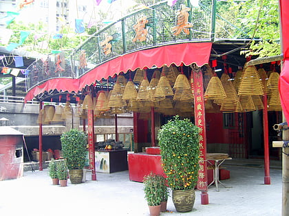
Nearby attractions include: Maritime Square, Tsuen Wan Chinese Permanent Cemetery, Rambler Channel Bridge, Chun Kwan Temple.
Frequently Asked Questions (FAQ)
Which popular attractions are close to Cheung Tsing Tunnel?
Nearby attractions include Duplicate Tsing Yi South Bridge, Hong Kong (2 min walk), Cheung Tsing Bridge, Hong Kong (3 min walk), Tsing Yi Bridge, Hong Kong (4 min walk), Tsing Yi Tong, Hong Kong (8 min walk).
How to get to Cheung Tsing Tunnel by public transport?
The nearest stations to Cheung Tsing Tunnel:
Bus
Metro
Bus
- Tsing Yi Industrial Centre • Lines: E32 (4 min walk)
- Ching Tao House Cheung Ching Estate • Lines: A32, E32, Na32, Nr41 (8 min walk)
Metro
- Tsing Yi • Lines: Ael, Tcl (19 min walk)
- Lai King • Lines: Tcl, Twl (24 min walk)

 MTR
MTR LTR
LTR Tram
Tram