Nam Wan Kok, Hong Kong
Map
Facts and practical information
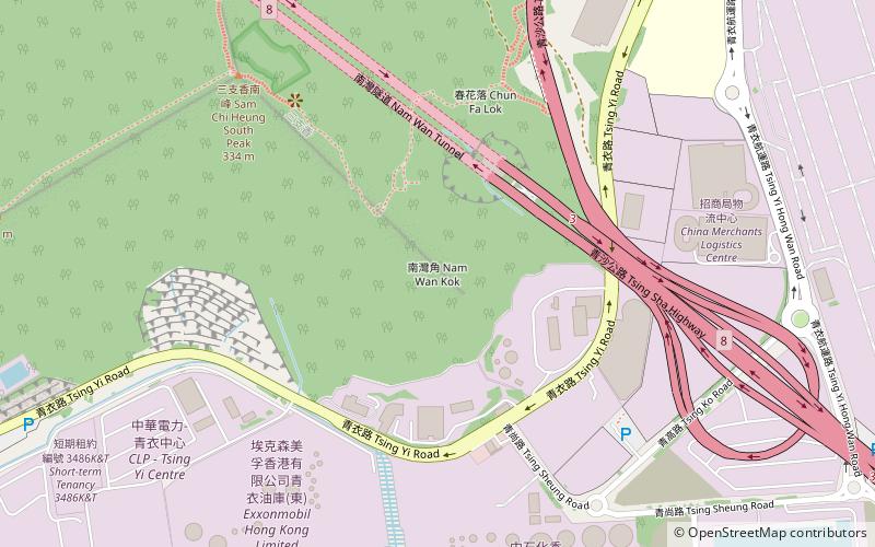
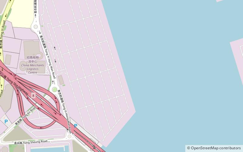
Nam Wan Kok is a cape in the southeast corner of Tsing Yi Island, Hong Kong. Its coast was reclaimed and became Container Terminal 9. The Nam Wan Tunnel and Stonecutters Bridge meet there. ()
Address
Hong Kong
ContactAdd
Social media
Add
Getting there by public transportation
Public transportation stops near this location
- Bus
 Bus
Bus
- Calculate routeMayfair Garden 19 min walk
- Calculate routeMayfair Gardens 21 min walk
- Calculate routeChing Wai House Cheung Ching Estate 22 min walk
Maps MTRMaps
 LTRMaps
 Tram
Tram
MTRMapsLTRMapsTramDay trips


Frequently Asked Questions (FAQ)
Which popular attractions are close to Nam Wan Kok?
Nearby attractions include Tsing Yi Peak, Hong Kong (9 min walk), Nam Wan Tunnel, Hong Kong (10 min walk), Technological and Higher Education Institute of Hong Kong, Hong Kong (15 min walk), Sai Shan, Hong Kong (19 min walk).
How to get to Nam Wan Kok by public transport?
The nearest stations to Nam Wan Kok:
Bus
Bus
- Mayfair Garden (19 min walk)
- Mayfair Gardens • Lines: 249M, A32, E32, Na32 (21 min walk)