Chata pod Kletí, Kleť
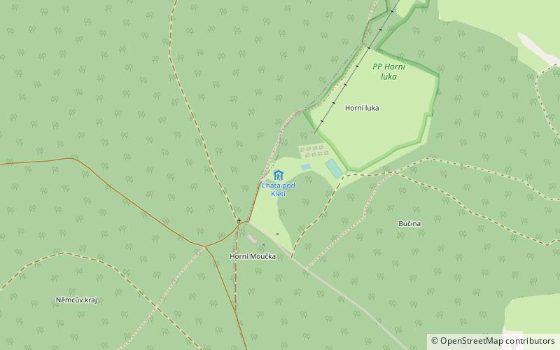
Map

Map

Facts and practical information
Chata pod Kletí is a place located in Kleť (Jihočeský region) and belongs to the category of hiking, alpine hut.
It is situated at an altitude of 2283 feet, and its geographical coordinates are 48°53'3"N latitude and 14°17'42"E longitude.
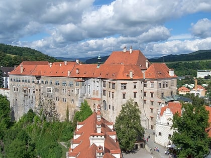
Among other places and attractions worth visiting in the area are: Kleť Observatory (observatories and planetariums, 38 min walk), Zlatá Koruna monastery (sacred and religious sites, 102 min walk), Český Krumlov Castle, Český Krumlov (historical place, 128 min walk).
Coordinates: 48°53'3"N, 14°17'42"E
Address
Kleť
ContactAdd
Social media
Add
Day trips
Chata pod Kletí – popular in the area (distance from the attraction)
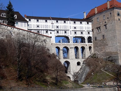
Nearby attractions include: Český Krumlov Castle, Kleť Observatory, Egon Schiele Art Centrum, Cloak Bridge.


