Nathanael's Church, Copenhagen

Gallery (1)
Map
Map
Facts and practical information
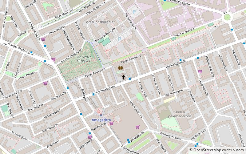
Nathanael's Church is a Church of Denmark parish church in Holmbladsgade in Amager, Copenhagen, Denmark. ()
Address
Amager Øst (Natanaels)Copenhagen
ContactAdd
Social media
Add
Getting there by public transportation
Public transportation stops near this location
- Metro
- Bus
- Ferry
 Metro
Metro
- Calculate routeAmagerbro 4 min walk
- Calculate routeLergravsparken 14 min walk
- Calculate routeChristianshavn 19 min walk
- Calculate routeIslands Brygge 20 min walk
- Calculate routeAmagerbro St. 4 min walk
- Calculate routeSønderport 7 min walk
- Calculate routeTingvej 8 min walk
- Calculate routeAmagerfælledvej 10 min walk
- Calculate routeKnippelsbro 24 min walk
- Calculate routeDet Kongelige Bibliotek 27 min walk
- Calculate routeNyhavn 27 min walk
- Calculate routeOperaen 30 min walk
Maps Metro
Metro
MetroDay trips


Frequently Asked Questions (FAQ)
Which popular attractions are close to Nathanael's Church?
Nearby attractions include Kvarterhuset, Copenhagen (1 min walk), Holmbladsgade, Copenhagen (2 min walk), Our Saviour's Cemetery, Copenhagen (4 min walk), Vermlandsgade, Copenhagen (6 min walk).
How to get to Nathanael's Church by public transport?
The nearest stations to Nathanael's Church:
Metro
Bus
Ferry
Metro
- Amagerbro • Lines: M2 (4 min walk)
- Lergravsparken • Lines: M2 (14 min walk)
Bus
- Amagerbro St. • Lines: 250S, 5C (4 min walk)
- Sønderport • Lines: 5C (7 min walk)
Ferry
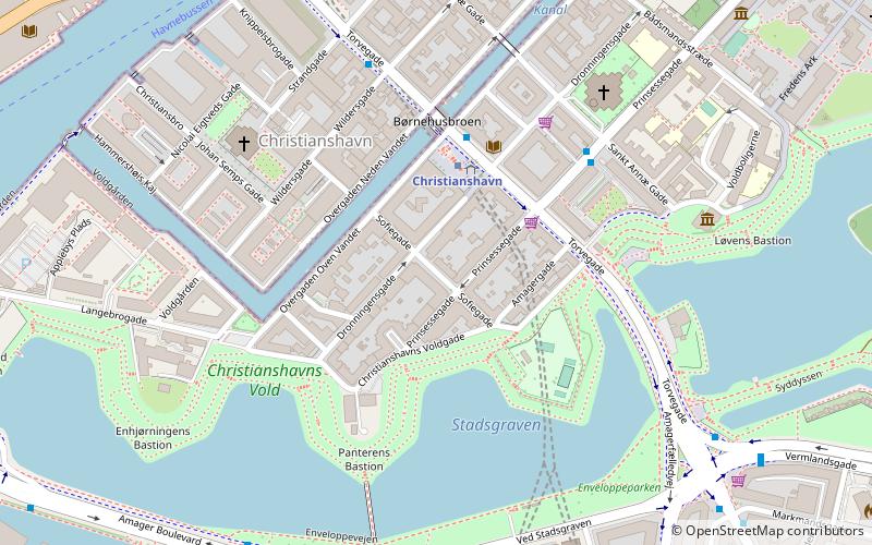
- Knippelsbro • Lines: 991, 992 (24 min walk)
- Det Kongelige Bibliotek • Lines: 991, 992 (27 min walk)