Godthaab Church, Copenhagen
Map

Gallery

Facts and practical information
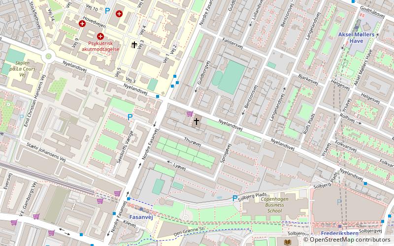
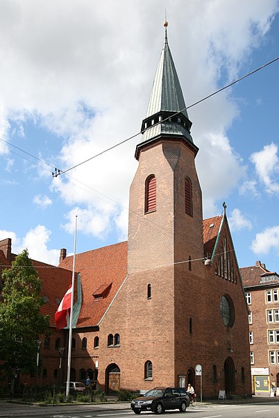
Godthaab Church is a Church of Denmark parish church situated on Nyelandsvej in the northern part of the Frederiksberg district of Copenhagen, Denmark. Godthaab Parish takes its name from Godthaabsvej, the principal artery of the area. ()
Local name: GodthaabskirkenCompleted: 19 March 1911 (114 years ago)Coordinates: 55°41'1"N, 12°31'34"E
Day trips
Godthaab Church – popular in the area (distance from the attraction)
Nearby attractions include: Værnedamsvej, Vesterbrogade, Frederiksberg Gardens, Cisternerne.
Frequently Asked Questions (FAQ)
Which popular attractions are close to Godthaab Church?
Nearby attractions include Nyelandsvej, Copenhagen (3 min walk), Howitzvej, Copenhagen (7 min walk), Solbjerg Kirke, Copenhagen (8 min walk), Smallegade, Copenhagen (9 min walk).
How to get to Godthaab Church by public transport?
The nearest stations to Godthaab Church:
Bus
Metro
Light rail
Bus
- Nyelandsvej • Lines: 4A (3 min walk)
- Fasanvej St. • Lines: 4A (5 min walk)
Metro
- Fasanvej • Lines: M1, M2 (5 min walk)
- Frederiksberg • Lines: M1, M2, M3 (8 min walk)
Light rail
- Peter Bangs Vej • Lines: C (25 min walk)
- Flintholm • Lines: C, F, H (28 min walk)

 Metro
Metro


