Bellahøj, Copenhagen
Map

Map

Facts and practical information
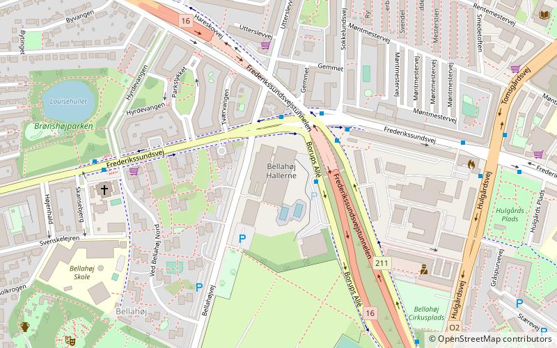
Bellahøj is an area situated 5 kilometres to the northwest of central Copenhagen, Denmark. It features the Bellahøj Houses, a functionalist housing project, as well as parkland with an open-air theatre. The 37 metre high hill situated in Bellahøj Park is the highest point in Copenhagen. The area offers an extensive view over the skyline of Copenhagen. ()
Address
Bellahøjvej 1-3Vanløse (Borups)Copenhagen 2700
Contact
+45 38 26 21 40
Social media
Add
Day trips
Bellahøj – popular in the area (distance from the attraction)
Nearby attractions include: Grundtvigs Kirke, Superkilen, Lersøparken, Copenhagen Denmark Temple.
Frequently Asked Questions (FAQ)
When is Bellahøj open?
Bellahøj is open:
- Monday 6 am - 8:30 pm
- Tuesday 10 am - 8:30 pm
- Wednesday 6 am - 3:30 pm
- Thursday 10 am - 8:30 pm
- Friday 6 am - 3 pm
- Saturday 8 am - 3:30 pm
- Sunday 8 am - 3:30 pm
Which popular attractions are close to Bellahøj?
Nearby attractions include Brønshøjparken, Copenhagen (7 min walk), Utterslev, Copenhagen (13 min walk), Nordvest, Copenhagen (16 min walk), Brønshøj Kirke, Copenhagen (17 min walk).
How to get to Bellahøj by public transport?
The nearest stations to Bellahøj:
Bus
Metro
Light rail
Bus
- Bellahøj • Lines: 250S (2 min walk)
- Hyrdevangen • Lines: 5C (6 min walk)
Metro
- Nørrebro • Lines: M3 (25 min walk)
Light rail
- Bispebjerg • Lines: F (27 min walk)
- Emdrup • Lines: B, Bx (37 min walk)

 Metro
Metro


