Borups Allé, Copenhagen
Facts and practical information
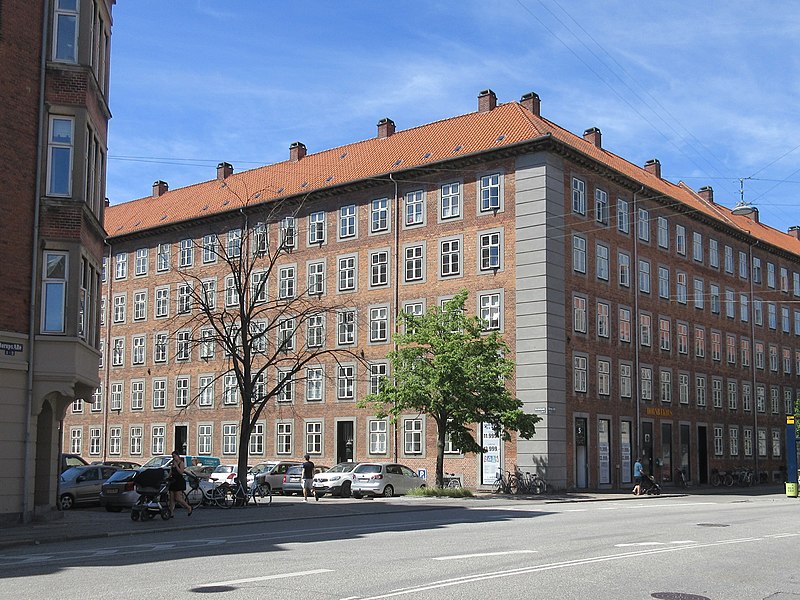
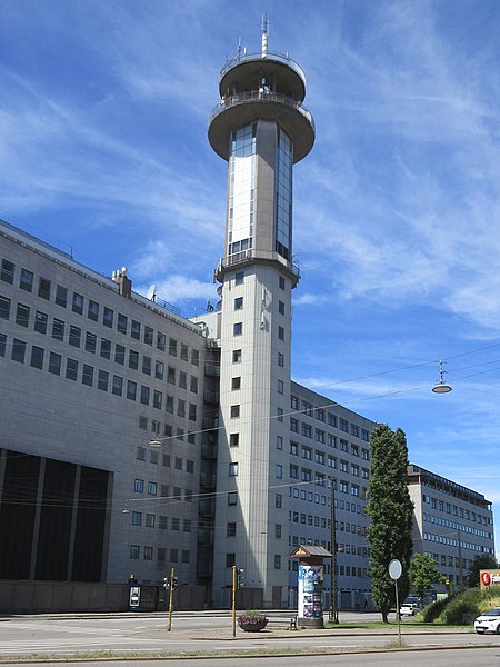
Borups Allé is a major artery in the northwestern part of inner Copenhagen, Denmark. The 3.2 km long street runs from Jagtvej at Nuuks Plads in the southeast to Bellahøj in the northwest. Just before Hulgårdsvej, part of Ring 2, Borups Allé is joined by Bispeengbuen, an elevated road section that connects it to Åboulevard-Ågade and H. C. Andersens Boulevard in the city centre. The rest of Borups Allé is the first leg of the National Road 16, part of the Danish national road network. It continues as a six-lane road to Frederikssundsvej where it becomes Hareskovvej and later the Hillerød Motorway at Utterslev Mose. ()
FrederiksbergCopenhagen
Borups Allé – popular in the area (distance from the attraction)
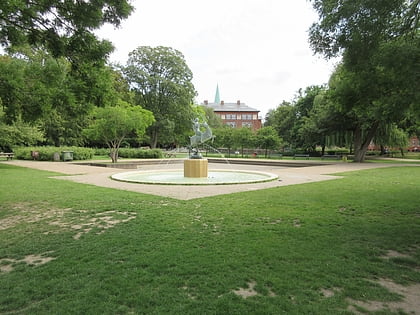
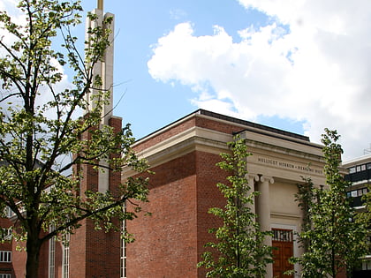
Nearby attractions include: Stefanskirken, Assistens Cemetery, Superkilen, Hans Tavsens Park.
Frequently Asked Questions (FAQ)
Which popular attractions are close to Borups Allé?
How to get to Borups Allé by public transport?
Bus
- Nordre Fasanvej • Lines: 12 (1 min walk)
- Borups Allé • Lines: 12, 4A (2 min walk)
Metro
- Nørrebro • Lines: M3 (13 min walk)
- Aksel Møllers Have • Lines: M3 (15 min walk)
Light rail
- Bispebjerg • Lines: F (24 min walk)
- Peter Bangs Vej • Lines: C (40 min walk)



 Metro
Metro


