Lersøparken, Copenhagen
Map

Map

Facts and practical information
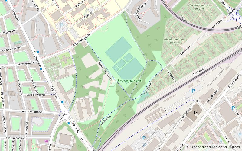
Lersøparken is a public park located on the east side of Tagensvej and just south of Bispebjerg Hospital in the Bispebjerg district of Copenhagen, Denmark.A greenway runs through the park and an adjacent area with allotments. ()
Elevation: 26 ft a.s.l.Coordinates: 55°42'35"N, 12°32'37"E
Address
Bispebjergs (Lersøparkens)Copenhagen
ContactAdd
Social media
Add
Day trips
Lersøparken – popular in the area (distance from the attraction)
Nearby attractions include: Grundtvigs Kirke, Bellahøj, Stefanskirken, Zoologisk Museum.
Frequently Asked Questions (FAQ)
Which popular attractions are close to Lersøparken?
Nearby attractions include Tagensvej, Copenhagen (7 min walk), Grand Mosque of Copenhagen, Copenhagen (7 min walk), Bispebjerg, Copenhagen (10 min walk), Mjølnerparken, Copenhagen (11 min walk).
How to get to Lersøparken by public transport?
The nearest stations to Lersøparken:
Bus
Light rail
Metro
Bus
- Lygten • Lines: 6A (5 min walk)
- Bispebjerg St. • Lines: 12, 6A (6 min walk)
Light rail
- Bispebjerg • Lines: F (7 min walk)
- Ryparken • Lines: B, Bx, F (19 min walk)
Metro
- Skjolds Plads • Lines: M3 (13 min walk)
- Vibenhus Runddel • Lines: M3 (22 min walk)

 Metro
Metro


