Amerika Plads, Copenhagen

Facts and practical information
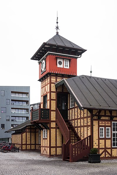
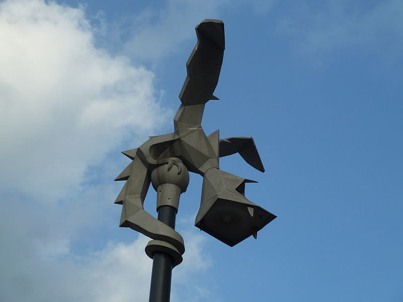
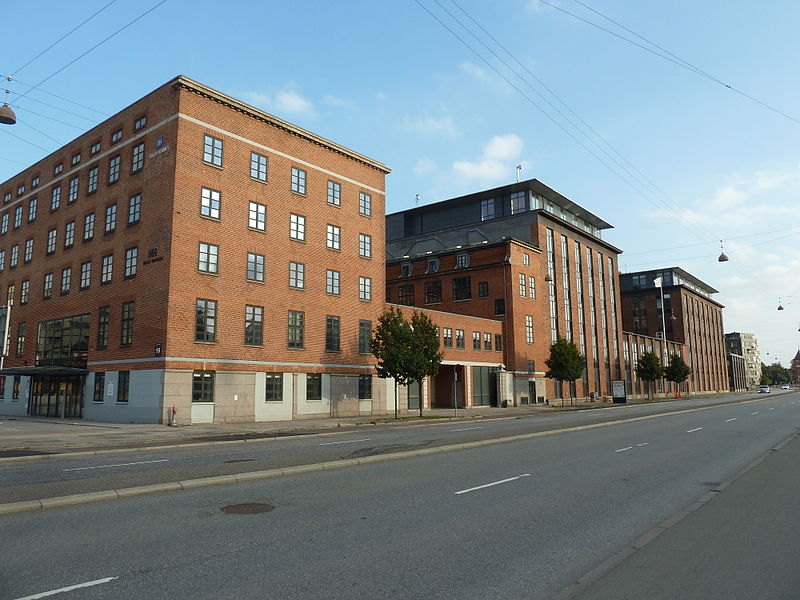
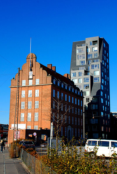
Amerika Plads is a public square and surrounding neighbourhood in the Østerbro district of Copenhagen, Denmark. It is the result of a redevelopment of an area in the southern part of the former Freeport of Copenhagen into a mixed-use neighbourhood which consists of dwellings, offices and retail establishments, combining converted historic buildings and modern architecture. The former Free Port Station building was put in storage during the redevelopment and is now located in the middle of the square where it serves as a café. The area is to the west bounded by Kalkbrænderihavnsgade, part of a major thoroughfare, and to the east by Dampfærgevej connected to Kalkbrænderihavnsgade in both ends and separating Amerika Plads from America Quay, the western quay of the Southern Free Port dock. The name of the area, like that of the quay, is a reference to the large passenger ships which used to transport Danish emigrants to New York City during the first half of the 20th century. ()
Østerbros (Tulipanens)Copenhagen
Amerika Plads – popular in the area (distance from the attraction)
Nearby attractions include: Kastellet, Maritime Monument, The Little Mermaid Statue, Østerbrogade.
Frequently Asked Questions (FAQ)
Which popular attractions are close to Amerika Plads?
How to get to Amerika Plads by public transport?
Bus
- Pakhusvej • Lines: 27 (3 min walk)
- Færgeterminal Søndre Frihavn • Lines: 27 (3 min walk)
Light rail
- Nordhavn • Lines: A, B, Bx, C, E (10 min walk)
- Østerport • Lines: A, B, Bx, C, E, H (15 min walk)
Train
- Østerport (13 min walk)
- Nørreport (36 min walk)
Metro
- Nordhavn • Lines: M4 (14 min walk)
- Østerport • Lines: M3, M4 (15 min walk)
Ferry
- Refshaleøen • Lines: 991, 992 (21 min walk)
- Nordre Toldbod • Lines: 991, 992 (22 min walk)


 Metro
Metro


