Amerikakaj, Copenhagen
Map
Gallery
Facts and practical information
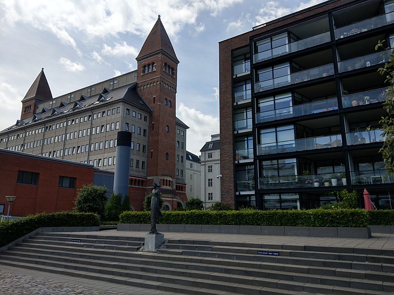
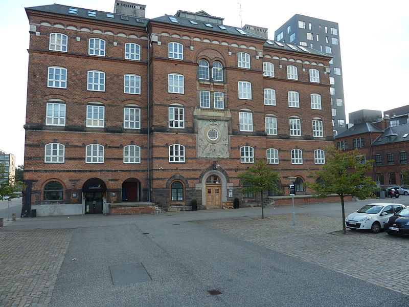
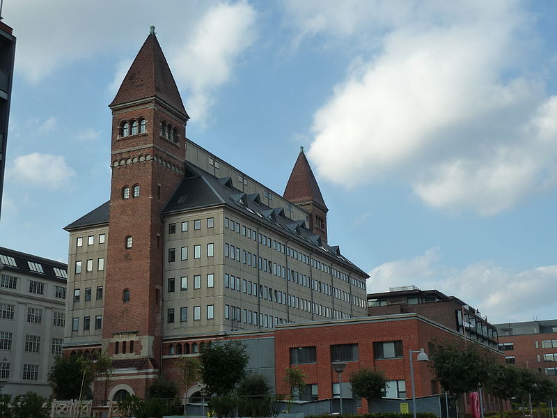
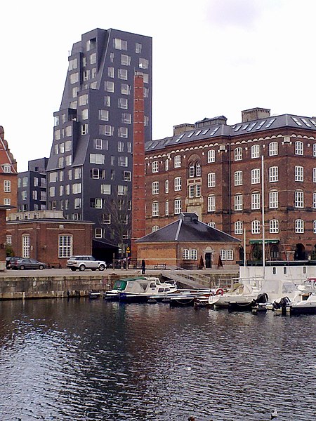
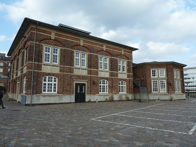
Amerikakaj is a 700 metre long quay along the west side of the Søndre Frihavn dock in Copenhagen, Denmark. The name commemorates the transatlantic passenger ships of the Scandinavian America Line which used to berth along the quay during the first half of the 20th century. Today DFDS's ferries to Oslo berth at its north end. ()
Coordinates: 55°41'58"N, 12°35'46"E
Address
Østerbros (Tulipanens)Copenhagen
ContactAdd
Social media
Add
Day trips
Amerikakaj – popular in the area (distance from the attraction)
Nearby attractions include: Kastelskirken, Kastellet, Maritime Monument, The Little Mermaid Statue.
Frequently Asked Questions (FAQ)
Which popular attractions are close to Amerikakaj?
Nearby attractions include Amerika Plads, Copenhagen (2 min walk), Indiakaj, Copenhagen (8 min walk), Church of the Free Port, Copenhagen (8 min walk), Marmormolen, Copenhagen (8 min walk).
How to get to Amerikakaj by public transport?
The nearest stations to Amerikakaj:
Bus
Light rail
Train
Metro
Ferry
Bus
- Pakhusvej • Lines: 27 (2 min walk)
- Færgeterminal Søndre Frihavn • Lines: 27 (3 min walk)
Light rail
- Nordhavn • Lines: A, B, Bx, C, E (11 min walk)
- Østerport • Lines: A, B, Bx, C, E, H (15 min walk)
Train
- Østerport (14 min walk)
- Nørreport (36 min walk)
Metro
- Nordhavn • Lines: M4 (15 min walk)
- Østerport • Lines: M3, M4 (16 min walk)
Ferry
- Refshaleøen • Lines: 991, 992 (19 min walk)
- Nordre Toldbod • Lines: 991, 992 (21 min walk)



 Metro
Metro


