Lake Emdrup, Copenhagen
Map

Gallery

Facts and practical information
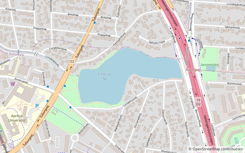
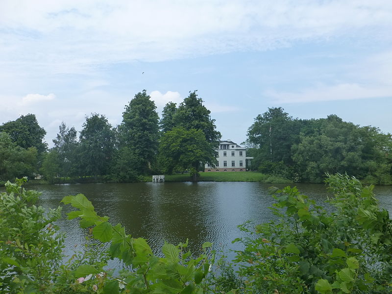
Lake Emdrup is a lake located on the border between Copenhagen and Gentofte municipalities in the Emdrup area of northern Copenhagen, Denmark. It is fed mainly with water from Utterslev Mose to the west and Gentofte Lake to the north and drains into St. Jørgen's Lake in central Copenhagen through a system of pipes. The small Emdrup Lake Park is situated at the southwestern corner of the lake. The lake and park were protected by the Conservation Authority in 1963. ()
Local name: Emdrup SøArea: 14.83 acres (0.0232 mi²)Length: 5.22 miElevation: 52 ft a.s.l.Coordinates: 55°43'22"N, 12°32'60"E
Address
Bispebjergs (Lundehus)Copenhagen
ContactAdd
Social media
Add
Day trips
Lake Emdrup – popular in the area (distance from the attraction)
Nearby attractions include: Grundtvigs Kirke, Østerbrogade, Waterfront Shopping, Lersøparken.
Frequently Asked Questions (FAQ)
Which popular attractions are close to Lake Emdrup?
Nearby attractions include Ryparken, Copenhagen (9 min walk), Ydre Østerbro, Copenhagen (14 min walk), St. Theresa's Church, Copenhagen (16 min walk), Mindelunden, Copenhagen (17 min walk).
How to get to Lake Emdrup by public transport?
The nearest stations to Lake Emdrup:
Bus
Light rail
Metro
Bus
- Birkehøj • Lines: 21 (5 min walk)
- Emdrup Søpark • Lines: 18, 185, 21 (5 min walk)
Light rail
- Emdrup • Lines: B, Bx (10 min walk)
- Ryparken • Lines: B, Bx, F (16 min walk)
Metro
- Vibenhus Runddel • Lines: M3 (33 min walk)
- Poul Henningsens Plads • Lines: M3 (35 min walk)

 Metro
Metro


