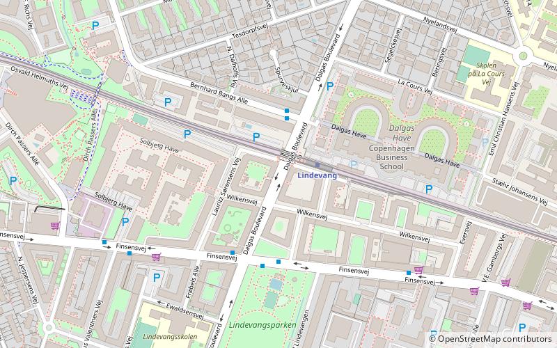
Dalgas Boulevard, Copenhagen
Map

Map

Facts and practical information
Dalgas Boulevard is a broad avenue in the Frederiksberg district of Copenhagen, Denmark. It runs from Roskildevej in the south to Femte Juni Plads in the north, intersecting Peter Bangs Vej and Finsensvej on the way. ()
Coordinates: 55°40'60"N, 12°30'43"E
Address
FrederiksbergCopenhagen
ContactAdd
Social media
Add
Day trips
Dalgas Boulevard – popular in the area (distance from the attraction)
Nearby attractions include: Copenhagen Zoo, Frederiksberg Gardens, Cisternerne, Aksel Møllers Have.
Frequently Asked Questions (FAQ)
Which popular attractions are close to Dalgas Boulevard?
Nearby attractions include Finsensvej, Copenhagen (4 min walk), Lindevangsparken, Copenhagen (5 min walk), Peter Bangs Vej, Copenhagen (10 min walk), Nyelandsvej, Copenhagen (13 min walk).
How to get to Dalgas Boulevard by public transport?
The nearest stations to Dalgas Boulevard:
Metro
Bus
Light rail
Metro
- Lindevang • Lines: M1, M2 (2 min walk)
- Fasanvej • Lines: M1, M2 (12 min walk)
Bus
- Dalgas Boulevard • Lines: 9A (9 min walk)
- Eversvej • Lines: 9A (5 min walk)
Light rail
- Peter Bangs Vej • Lines: C (13 min walk)
- Flintholm • Lines: C, F, H (14 min walk)

 Metro
Metro


