Sluseholmen Canal District, Copenhagen

Gallery (1)
Map
Map
Facts and practical information
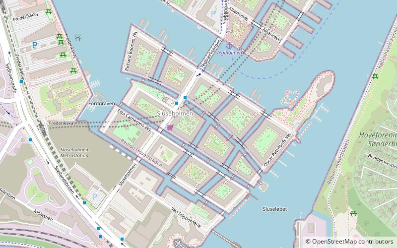
Sluseholmen Canal District is a residential development on the Sluseholmen peninsula in the South Harbour area of Copenhagen, Denmark. The development comprises 1,350 apartments on eight artificial islands, separated by dug-out canals. On each island is an enclosed block of four-to-seven stories, surrounding a sheltered courtyard with public access. The buildings often stand directly on the canals, while bridges, wharfs and "ghats" allow direct contact with the water. ()
Address
Vesterbro - Kongens Enghave (Sydhavnens)Copenhagen
ContactAdd
Social media
Add
Getting there by public transportation
Public transportation stops near this location
- Metro
- Bus
- Light rail
- Train
- Ferry
 Metro
Metro
- Calculate routeTeglholmen 4 min walk
- Calculate routeBryggebroen 34 min walk
- Calculate routeSluseholmen 6 min walk
- Calculate routeEnghave Brygge 17 min walk
- Calculate routeMozarts Plads 17 min walk
- Calculate routeHavneholmen 29 min walk
- Calculate routeSluseholmen 6 min walk
- Calculate routeAlliancevej 7 min walk
- Calculate routeBådehavnsgade 8 min walk
- Calculate routeVed Slusen 10 min walk
- Calculate routeSydhavn 20 min walk
- Calculate routeSjælør 26 min walk
- Calculate routeØrestad 42 min walk
Maps Metro
Metro
MetroDay trips


Frequently Asked Questions (FAQ)
Which popular attractions are close to Sluseholmen Canal District?
Nearby attractions include Sluseholmen, Copenhagen (3 min walk), Teglværksbroen, Copenhagen (4 min walk), Fiskerhavnen, Copenhagen (11 min walk), Frederiks Brygge, Copenhagen (18 min walk).
How to get to Sluseholmen Canal District by public transport?
The nearest stations to Sluseholmen Canal District:
Ferry
Train
Bus
Light rail
Metro
Ferry
- Teglholmen • Lines: 991, 992 (4 min walk)
- Bryggebroen • Lines: 991, 992 (34 min walk)
Train
- Sluseholmen (6 min walk)
- Enghave Brygge (17 min walk)
Bus
- Sluseholmen • Lines: 18 (6 min walk)
- Alliancevej • Lines: 7A (7 min walk)
Light rail
- Sydhavn • Lines: A, E (20 min walk)
- Sjælør • Lines: A, E (26 min walk)
Metro
- Ørestad • Lines: M1 (42 min walk)