Vestamager, Copenhagen
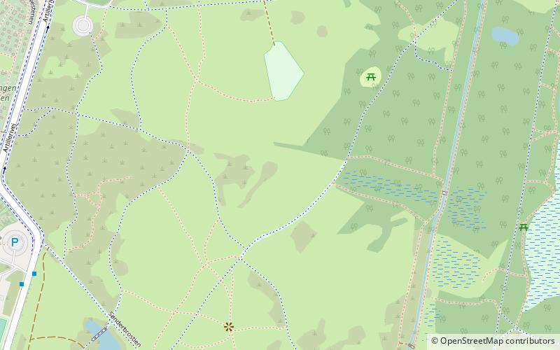
Map
Facts and practical information
Vestamager most often refers to Kalvebod Fælled, but is also the name of one of the 15 administrative, statistical, and tax city districts comprising the municipality of Copenhagen, Denmark. It lies on the south border of the municipality on the island of Amager. It covers an area of 13.99 km², has a population of 7,799 and a population density of 558 per km², making it both the largest district in area and the least densely populated district in Copenhagen. ()
Address
Amager Vest (Eksercerpladsen)Copenhagen
ContactAdd
Social media
Add
Getting there by public transportation
Public transportation stops near this location
- Metro
- Bus
- Light rail
- Train
- Ferry
 Metro
Metro
- Calculate routeHF Sønderbro 9 min walk
- Calculate routeRundholtsvej 10 min walk
- Calculate routeDrechselsgade 14 min walk
- Calculate routeVandrerhjem 16 min walk
- Calculate routeSundby 14 min walk
- Calculate routeDR Byen 18 min walk
- Calculate routeBella Center 23 min walk
- Calculate routeIslands Brygge 26 min walk
- Calculate routeEnghave Brygge 20 min walk
- Calculate routeHavneholmen 26 min walk
- Calculate routeBryggebroen 22 min walk
- Calculate routeTeglholmen 24 min walk
- Calculate routeDybbølsbro 31 min walk
Maps Metro
Metro
MetroDay trips


Frequently Asked Questions (FAQ)
Which popular attractions are close to Vestamager?
Nearby attractions include Amager Common, Copenhagen (4 min walk), Amager Vest, Copenhagen (14 min walk), Enghave Brygge, Copenhagen (19 min walk), DR Koncerthuset, Copenhagen (20 min walk).
How to get to Vestamager by public transport?
The nearest stations to Vestamager:
Bus
Metro
Train
Ferry
Light rail
Bus
- HF Sønderbro • Lines: 77 (9 min walk)
- Rundholtsvej • Lines: 77 (10 min walk)
Metro
- Sundby • Lines: M1 (14 min walk)
- DR Byen • Lines: M1 (18 min walk)
Train
- Enghave Brygge (20 min walk)
- Havneholmen (26 min walk)
Ferry
- Bryggebroen • Lines: 991, 992 (22 min walk)
- Teglholmen • Lines: 991, 992 (24 min walk)
Light rail
- Dybbølsbro • Lines: A, B, Bx, C, E, H (31 min walk)