Nordhavn, Copenhagen

Map
Facts and practical information
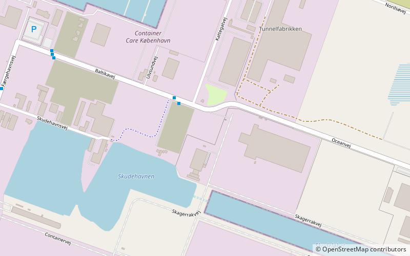
Nordhavnen, or Nordhavn, is a harbour area at the coast of the Øresund, founded at the end of the 19th century in Copenhagen, Denmark. It covers an area of more than 2 km². ()
Address
Østerbros (Nordhavn)Copenhagen
ContactAdd
Social media
Add
Day trips
Nordhavn – popular in the area (distance from the attraction)
Nearby attractions include: Paustian, Østerbrogade, Waterfront Shopping, Tuborg Havn.
Frequently Asked Questions (FAQ)
Which popular attractions are close to Nordhavn?
Nearby attractions include Faurschou, Copenhagen (13 min walk), Paustian, Copenhagen (16 min walk), Freeport of Copenhagen, Copenhagen (21 min walk), Copenhagen Harbour Baths, Copenhagen (24 min walk).
How to get to Nordhavn by public transport?
The nearest stations to Nordhavn:
Metro
Bus
Light rail
Metro
- Orientkaj • Lines: M4 (13 min walk)
- Nordhavn • Lines: M4 (21 min walk)
Bus
- Langelinekaj Østmolen • Lines: 27 (25 min walk)
- Nordhavn St. • Lines: 14, 23 (25 min walk)
Light rail
- Nordhavn • Lines: A, B, Bx, C, E (25 min walk)
- Svanemøllen • Lines: A, B, Bx, C, E (27 min walk)
 Metro
Metro


