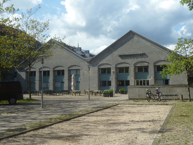
Århusgade, Copenhagen
Map

Gallery

Facts and practical information
Århusgade is a street in the Østerbro district of Copenhagen, Denmark. It extends east from Østerbrogade and passes under the railway just before entering the southernmost part of Nordhavn which is known as the Århusgade neighbourhood after it. The street has many cafés and small shops. The street is named after the City of Aarhus, the second largest city in Denmark. ()
Coordinates: 55°42'23"N, 12°35'2"E
Address
ØsterbrosCopenhagen
ContactAdd
Social media
Add
Day trips
Århusgade – popular in the area (distance from the attraction)
Nearby attractions include: Parken Stadium, Paustian, Østerbrogade, Gunnar Nu Hansens Plads.
Frequently Asked Questions (FAQ)
Which popular attractions are close to Århusgade?
Nearby attractions include Strandboulevarden, Copenhagen (4 min walk), Randersgade, Copenhagen (5 min walk), Viborggade, Copenhagen (6 min walk), Østre Gasværk Teater, Copenhagen (7 min walk).
How to get to Århusgade by public transport?
The nearest stations to Århusgade:
Bus
Light rail
Metro
Train
Ferry
Bus
- Århusgade • Lines: 14, 23 (3 min walk)
- Svendborggade • Lines: 14, 23 (5 min walk)
Light rail
- Nordhavn • Lines: A, B, Bx, C, E (8 min walk)
- Svanemøllen • Lines: A, B, Bx, C, E (17 min walk)
Metro
- Nordhavn • Lines: M4 (8 min walk)
- Poul Henningsens Plads • Lines: M3 (10 min walk)
Train
- Østerport (25 min walk)
Ferry
- Refshaleøen • Lines: 991, 992 (36 min walk)

 Metro
Metro


