Bragesgade, Copenhagen

Map
Facts and practical information
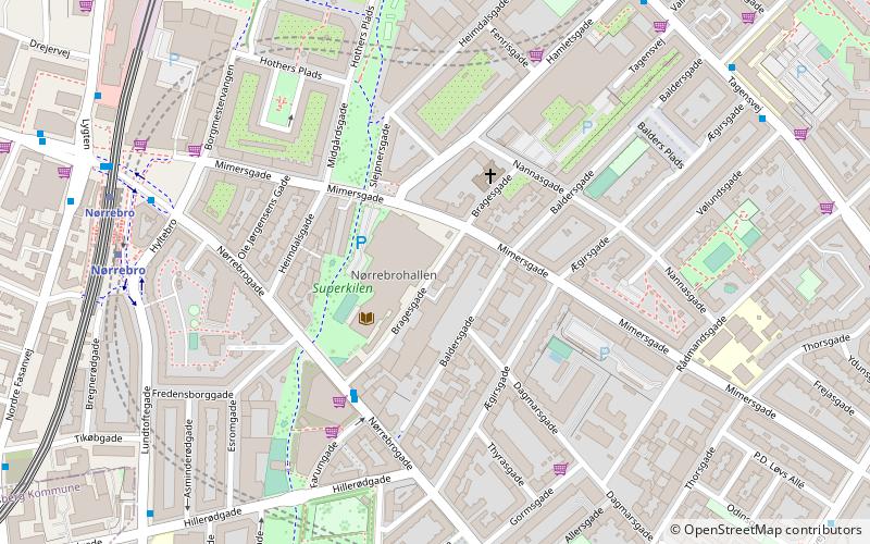
Bragesgade is a street in the Outer Nørrebro district of Copenhagen, Denmark. It runs from Nørrebrogade in the southwest to Nannasgade in the northeast. It is located in the so-called Mimersgade Quarter where many of the streets are named after Norse figures and localities. It is named afterBrage. Nørrebrohallen's main entrance is located in the street. ()
Coordinates: 55°41'59"N, 12°32'39"E
Address
Nørrebro (Kingos Kirkes)Copenhagen
ContactAdd
Social media
Add
Day trips
Bragesgade – popular in the area (distance from the attraction)
Nearby attractions include: Nørrebrogade, Stefanskirken, Zoologisk Museum, Superkilen.
Frequently Asked Questions (FAQ)
Which popular attractions are close to Bragesgade?
Nearby attractions include Superkilen, Copenhagen (4 min walk), Mimersgade, Copenhagen (4 min walk), Heimdalsgade, Copenhagen (5 min walk), Al-Faruq mosque, Copenhagen (6 min walk).
How to get to Bragesgade by public transport?
The nearest stations to Bragesgade:
Bus
Metro
Light rail
Train
Bus
- Nørrebrohallen • Lines: 5C (3 min walk)
- Stefansgade • Lines: 5C (7 min walk)
Metro
- Nørrebro • Lines: M3 (7 min walk)
- Skjolds Plads • Lines: M3 (8 min walk)
Light rail
- Bispebjerg • Lines: F (12 min walk)
- Ryparken • Lines: B, Bx, F (32 min walk)
Train
- Nørreport (40 min walk)
 Metro
Metro


