Danish Medical Association, Copenhagen
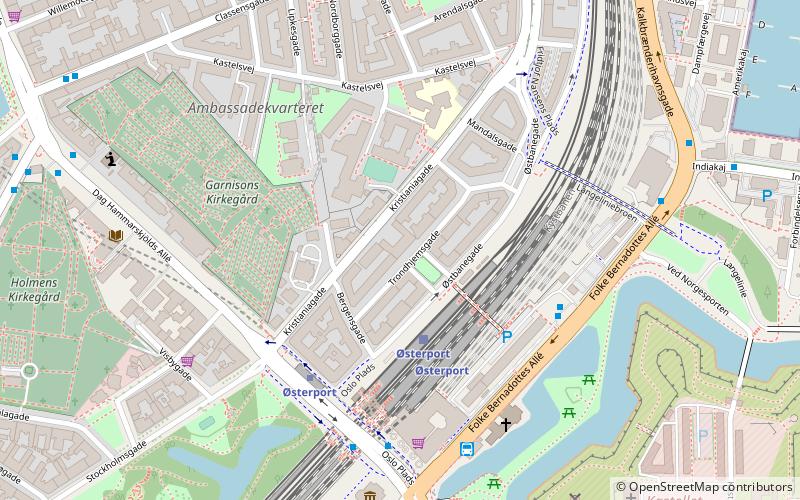
Map
Facts and practical information
The Danish Medical Association is a medical professional association in Denmark. It has a membership of 21,800, and is affiliated with the Danish Confederation of Professional Associations. Since 1954, it has published the medical journal Danish Medical Journal, which was originally named Danish Medical Bulletin until 2012. ()
Address
Østerbros (Classens)Copenhagen
ContactAdd
Social media
Add
Getting there by public transportation
Public transportation stops near this location
- Metro
- Bus
- Light rail
- Train
- Ferry
 Metro
Metro
- Calculate routeØsterport 3 min walk
- Calculate routeNørreport 24 min walk
- Calculate routeØsterport 4 min walk
- Calculate routeNordhavn 19 min walk
- Calculate routeNørreport 26 min walk
- Calculate routeØsterport 4 min walk
- Calculate routeTrianglen 15 min walk
- Calculate routeMarmorkirken 17 min walk
- Calculate routeNordhavn 24 min walk
- Calculate routePapuga 5 min walk
- Calculate routeØsterport St. 5 min walk
- Calculate routeLipkesgade 7 min walk
- Calculate routeSøndre Frihavn 7 min walk
- Calculate routeNordre Toldbod 17 min walk
- Calculate routeRefshaleøen 21 min walk
- Calculate routeOperaen 26 min walk
- Calculate routeHolmen Nord 27 min walk
Maps Metro
Metro
MetroDay trips
Danish Medical Association – popular in the area (distance from the attraction)
Nearby attractions include: Kastelskirken, Hirschsprung Collection, Kastellet, Maritime Monument.


Frequently Asked Questions (FAQ)
Which popular attractions are close to Danish Medical Association?
Nearby attractions include Kristianiagade, Copenhagen (1 min walk), Glacisgården, Copenhagen (2 min walk), Østbanegade, Copenhagen (2 min walk), Institute for the Blind, Copenhagen (3 min walk).
How to get to Danish Medical Association by public transport?
The nearest stations to Danish Medical Association:
Train
Light rail
Metro
Bus
Ferry
Train
- Østerport (3 min walk)
- Nørreport (24 min walk)
Light rail
- Østerport • Lines: A, B, Bx, C, E, H (4 min walk)
- Nordhavn • Lines: A, B, Bx, C, E (19 min walk)
Metro
- Østerport • Lines: M3, M4 (4 min walk)
- Trianglen • Lines: M3 (15 min walk)
Bus
- Papuga (5 min walk)
- Østerport St. • Lines: 23, 27 (5 min walk)
Ferry
- Nordre Toldbod • Lines: 991, 992 (17 min walk)
- Refshaleøen • Lines: 991, 992 (21 min walk)