Haraldsgade, Copenhagen
Map

Gallery

Facts and practical information
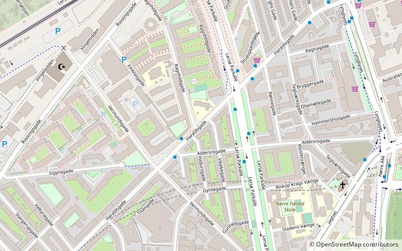
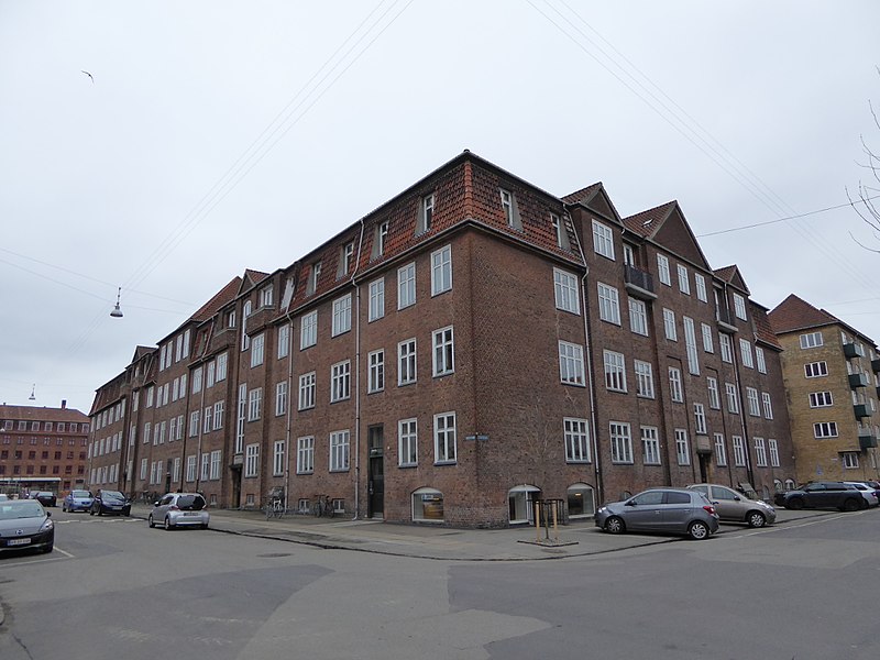
Haraldsgade is an approximately 1.1 km long street in the outer Nørrebro and Østerbro districts of Copenhagen, Denmark. It runs from Tagensvej in the southwest to Lyngbyvej in the northeast. Skjolds Plads Station, a station on the Copenhagen Metro City Circle Line, is located at the beginning of the street. The station takes its name after Skjolds Plads, a small square located off the east side of the street. The southwestern end of the street was closed to through traffic in connection with the opening of the metro station. ()
Coordinates: 55°42'25"N, 12°33'18"E
Address
Nørrebro (Vibekes)Copenhagen
ContactAdd
Social media
Add
Day trips
Haraldsgade – popular in the area (distance from the attraction)
Nearby attractions include: Parken Stadium, Zoologisk Museum, Fælledparken, Superkilen.
Frequently Asked Questions (FAQ)
Which popular attractions are close to Haraldsgade?
Nearby attractions include Grand Mosque of Copenhagen, Copenhagen (6 min walk), Vibenshus Runddel, Copenhagen (9 min walk), Zoologisk Museum, Copenhagen (9 min walk), Ydre Nørrebro, Copenhagen (10 min walk).
How to get to Haraldsgade by public transport?
The nearest stations to Haraldsgade:
Bus
Metro
Light rail
Bus
- Aldersrogade • Lines: 12, 14, 18 (2 min walk)
- Haraldsgade • Lines: 14, 18 (3 min walk)
Metro
- Skjolds Plads • Lines: M3 (9 min walk)
- Vibenhus Runddel • Lines: M3 (10 min walk)
Light rail
- Bispebjerg • Lines: F (14 min walk)
- Ryparken • Lines: B, Bx, F (16 min walk)

 Metro
Metro


