Brønshøj-Husum, Copenhagen
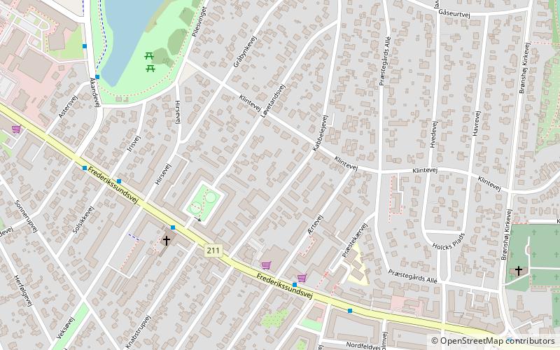
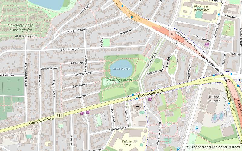
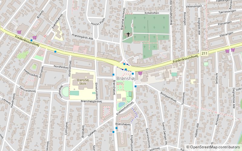
Map
Facts and practical information
Brønshøj-Husum is one of the 10 official districts of Copenhagen, Denmark. The district is bisected by Frederikssundsvej and consists mainly of vast areas of single family detached homes. It lies on the northwest border of the municipality. It covers an area of 8.73 km², has a population of 39,588. The district, now a quiet suburban area, has developed around the two old villages of Brønshøj and Husum. ()
Address
Brønshøj - Husum (Ærtevejs)Copenhagen
ContactAdd
Social media
Add
Getting there by public transportation
Public transportation stops near this location
- Bus
- Light rail
 Bus
Bus
- Calculate routeAstrupvej 4 min walk
- Calculate routeVeksøvej 5 min walk
- Calculate routeHusumvold Kirke 7 min walk
- Calculate routeBrønshøj Torv 10 min walk
- Calculate routeIslev 27 min walk
- Calculate routeHusum 29 min walk
Maps Metro
Metro
MetroDay trips


Frequently Asked Questions (FAQ)
Which popular attractions are close to Brønshøj-Husum?
Nearby attractions include Brønshøj Kirke, Copenhagen (8 min walk), Brønshøj, Copenhagen (9 min walk), Brønshøj Water Tower, Copenhagen (15 min walk), Brønshøjparken, Copenhagen (18 min walk).
How to get to Brønshøj-Husum by public transport?
The nearest stations to Brønshøj-Husum:
Bus
Light rail
Bus
- Astrupvej • Lines: 2A, 5C (4 min walk)
- Veksøvej • Lines: 2A, 5C (5 min walk)
Light rail
- Islev • Lines: C (27 min walk)
- Husum • Lines: C (29 min walk)