Brønshøjparken, Copenhagen
Map
Facts and practical information
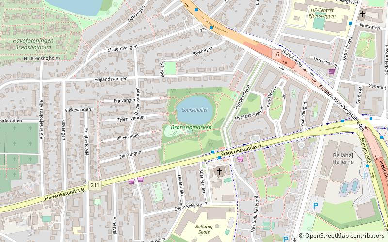
Brønshøjparken is a public park in the Brønshøj district of Copenhagen, Denmark. It is situated on the north side of Frederikssundsvej, just east of the original village and west of the intersection with Borups Allé. ()
Elevation: 82 ft a.s.l.Coordinates: 55°42'24"N, 12°30'31"E
Getting there by public transportation
Public transportation stops near this location
- Metro
- Bus
 Metro
Metro
- Calculate routeHyrdevangen 2 min walk
- Calculate routeMellemvangen 5 min walk
- Calculate routeBellahøj 8 min walk
- Calculate routeNørrebro 32 min walk
Maps Metro
Metro
MetroDay trips


Frequently Asked Questions (FAQ)
Which popular attractions are close to Brønshøjparken?
Nearby attractions include Brønshøj Kirke, Copenhagen (10 min walk), Brønshøj, Copenhagen (12 min walk), Utterslev, Copenhagen (13 min walk), Brønshøj Water Tower, Copenhagen (16 min walk).
How to get to Brønshøjparken by public transport?
The nearest stations to Brønshøjparken:
Bus
Metro
Bus
- Hyrdevangen • Lines: 5C (2 min walk)
- Mellemvangen • Lines: 250S (5 min walk)
Metro
- Nørrebro • Lines: M3 (32 min walk)