Brønshøj, Copenhagen

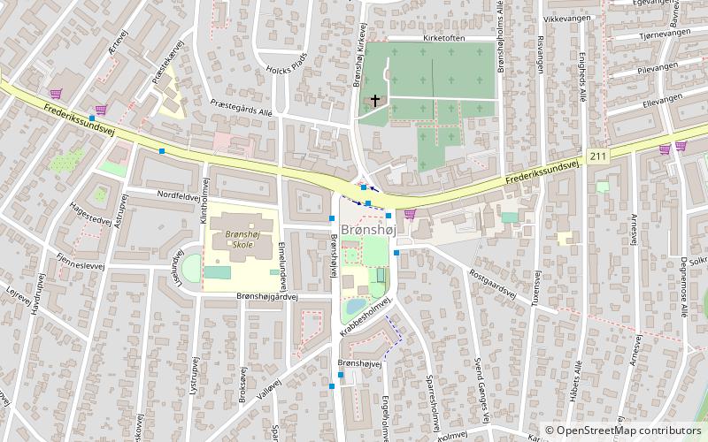
Map
Facts and practical information
Brønshøj, part of the municipality of Copenhagen, forms, together with Husum, the administrative city district of Brønshøj-Husum, in Denmark. ()
Address
Brønshøj - Husum (Tuxens)Copenhagen
ContactAdd
Social media
Add
Day trips
Brønshøj – popular in the area (distance from the attraction)
Nearby attractions include: Bellahøj, Bispebjerg Kirkegård, Brønshøj Kirke, Fasanvej.
Frequently Asked Questions (FAQ)
Which popular attractions are close to Brønshøj?
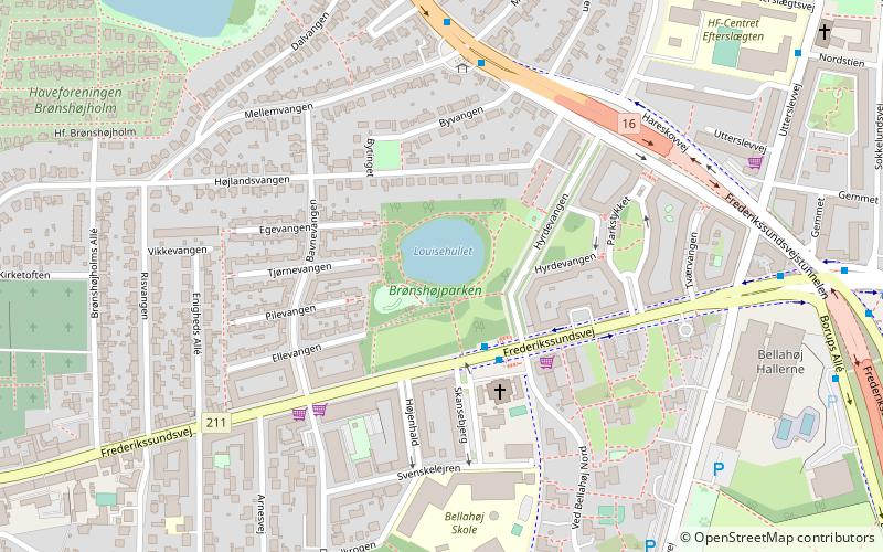
Nearby attractions include Brønshøj Kirke, Copenhagen (3 min walk), Brønshøj Water Tower, Copenhagen (7 min walk), Brønshøj-Husum, Copenhagen (9 min walk), Brønshøjparken, Copenhagen (12 min walk).
How to get to Brønshøj by public transport?
The nearest stations to Brønshøj:
Bus
Light rail
Metro
Bus
- Brønshøj Torv • Lines: 10, 2A, 5C (1 min walk)
- Valløvej • Lines: 10, 2A (4 min walk)
Light rail
- Islev • Lines: C (31 min walk)
- Vanløse • Lines: C, H (31 min walk)
Metro
- Vanløse • Lines: M1, M2 (31 min walk)
 Metro
Metro


