Amagerbro, Copenhagen
Map

Map

Facts and practical information
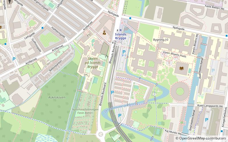
Amagerbro is an area in the northern part of the island Amager and a district in Copenhagen. The area is known as a working class area, and has approximately 20,000 inhabitants. The district has two metro stations, Amagerbro station and Lergravsparken station. Amagerbrogade, a main shopping street, runs through it. ()
Address
Amager Vest (Faste Batteris)Copenhagen
ContactAdd
Social media
Add
Day trips
Amagerbro – popular in the area (distance from the attraction)
Nearby attractions include: Fisketorvet, Amager Centret, Overgaden, DR Koncerthuset.
Frequently Asked Questions (FAQ)
Which popular attractions are close to Amagerbro?
Nearby attractions include DR Koncerthuset, Copenhagen (8 min walk), Islands Brygge, Copenhagen (9 min walk), Hans Tausen's Church, Copenhagen (10 min walk), Mogens Dahl Koncertsal, Copenhagen (10 min walk).
How to get to Amagerbro by public transport?
The nearest stations to Amagerbro:
Metro
Bus
Ferry
Train
Light rail
Metro
- Islands Brygge • Lines: M1 (4 min walk)
- DR Byen • Lines: M1 (12 min walk)
Bus
- Islands Brygge St. • Lines: 33, 77 (5 min walk)
- Kigkurren • Lines: 77 (9 min walk)
Ferry
- Bryggebroen • Lines: 991, 992 (16 min walk)
- Det Kongelige Bibliotek • Lines: 991, 992 (20 min walk)
Train
- Havneholmen (26 min walk)
- Copenhagen Central Station (27 min walk)
Light rail
- Dybbølsbro • Lines: A, B, Bx, C, E, H (26 min walk)
- Copenhagen Central Station • Lines: A, B, Bx, C, E, H (28 min walk)

 Metro
Metro


