Amagerbrogade, Copenhagen
Map

Map

Facts and practical information
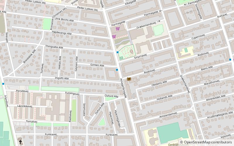
Amagerbrogade is the main shopping street and thoroughfare of the part of Copenhagen, Denmark that is located on the island of Amager. It begins at the end of the causeway which connects Amager to Christianshavn and the city centre on the other side of the harbour, and runs south until it reaches the municipal border with Tårnby where it continues as Amager Landevej. The street marks the border between Amager Vest and Amager Øst, two of the ten official districts of Copenhagen. ()
Day trips
Amagerbrogade – popular in the area (distance from the attraction)
Nearby attractions include: Amager Centret, DR Koncerthuset, Amager Strandpark, Our Saviour's Cemetery.
Frequently Asked Questions (FAQ)
Which popular attractions are close to Amagerbrogade?
Nearby attractions include Sankt Annæ Kirke, Copenhagen (9 min walk), Højdevangskirken, Copenhagen (9 min walk), Filips Kirke, Copenhagen (11 min walk), Simon Peter's Church, Copenhagen (14 min walk).
How to get to Amagerbrogade by public transport?
The nearest stations to Amagerbrogade:
Bus
Metro
Bus
- Smyrnavej • Lines: 5C, 77 (1 min walk)
- Grækenlandsvej • Lines: 77 (7 min walk)
Metro
- Lergravsparken • Lines: M2 (22 min walk)
- Amager Strand • Lines: M2 (22 min walk)

 Metro
Metro


